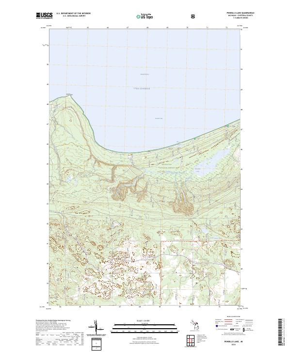
2023 Map of Pendills Lake
USGS Topo · Published 2023About this map
Pendills Creek National Fish Hatchery sits prominently along the northern shoreline of the Upper Peninsula, where Pendills Creek flows into Pendills Bay. This coastal landscape within the Hiawatha National Forest is defined by its complex drainage systems and recreation corridors. Moving inland from Lake Superior, the terrain is marked by numerous water bodies including Pendills Lake, Avery Lake, and Little Avery Lake. The map details an extensive network of modern recreational infrastructure, featuring the North Country National Scenic Trl alongside specialized paths like the Raco - Paradise Snowmo Trl. This documentation of the Salt Point area highlights the convergence of federal land management, aquatic conservation, and the enduring importance of the Whitefish Bay shoreline.
Find a feature on this map
21 named features on this map. Tap any name to fly to it.
Don’t see what you’re looking for? This feature index may not catch every label — zoom into the map to look around manually.
Map Details
Editions of this 2023 Pendills Lake Map
This is the sole edition of this map. No revisions or reprints were ever made.
Other maps of this area

1941 · Strongs
USGS Topo · 1:63,360

1941 · Brimley
USGS Topo · 1:63,360

1951 · Strongs
USGS Topo · 1:24,000

1951 · McNearney Lake
USGS Topo · 1:24,000

1951 · Pendills Lake
USGS Topo · 1:24,000

1951 · Dollar Settlement
USGS Topo · 1:24,000

1951 · Sullivan Creek
USGS Topo · 1:24,000

1951 · Raco
USGS Topo · 1:24,000

1951 · Brimley
USGS Topo · 1:62,500

1951 · Strongs
USGS Topo · 1:62,500