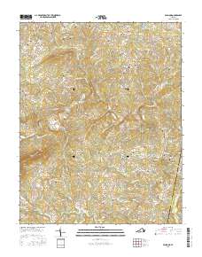
2016 Map of Penhook
USGS Topo · Published 2016About this map
The Pigg River flows through this Piedmont landscape, carving a valley between the prominent elevations of Jacks Mtn and Chesnut Mtn. In the northeast, the reaching arms of Smith Mountain Lake mark the local topography, while smaller communities like Penhook, Union Hall, and Dickinson serve as local hubs. This area is characterized by a dense distribution of small family burial grounds, reflecting generations of land ownership. Genealogists may find interest in the Housman-Ferguson Cem, Neville-Horsley Cem, and the Bradner-Toller Cem, among dozens of others scattered across the hills.
Find a feature on this map
142 named features on this map. Tap any name to fly to it.
Don’t see what you’re looking for? This feature index may not catch every label — zoom into the map to look around manually.
Map Details
Editions of this 2016 Penhook Map
This is the sole edition of this map. No revisions or reprints were ever made.
Other maps of this area

1890 · Roanoke
USGS Topo · 1:125,000

1891 · Roanoke
USGS Topo · 1:125,000

1922 · Callands
USGS Topo · 1:48,000

1924 · Callands
USGS Topo · 1:62,500

1925 · Rocky Mount
USGS Topo · 1:48,000

1927 · Rocky Mount
USGS Topo · 1:62,500

1944 · Rocky Mount
USGS Topo · 1:62,500

1944 · Callands
USGS Topo · 1:62,500

1947 · Roanoke
USGS Topo · 1:250,000

1951 · Boones Mill
USGS Topo · 1:62,500