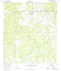
1949 Map of Penney Farms
USGS Topo · Published 1972About this map
Penney Farms serves as the central hub for this Clay County landscape, where the planned community's layout is clearly defined against the surrounding Florida wetlands. The presence of Memorial Homes and the Penney Farms Sch reflect the town's unique heritage as a model farm and retirement colony founded in the early 20th century. By the mid-century period, the map documents the transition of local infrastructure, noting the Penney Farms Landing Field (Aban'd) and a Substation near the town center. Outside the city limits, the terrain is dominated by the intricate drainage of the Black Creek South Fork and its tributaries, including Greens Creek and Ates Creek. Further east, Pass Station marks a specific point of interest along the rail and utility corridors that linked these interior settlements to the larger regional network.
Find a feature on this map
16 named features on this map. Tap any name to fly to it.
Don’t see what you’re looking for? This feature index may not catch every label — zoom into the map to look around manually.
Map Details
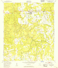
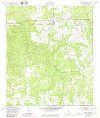
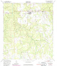
Editions of this 1949 Penney Farms Map
4 editions found
Other maps of this area

1917 · Orange Park
USGS Topo · 1:62,500

1918 · Middleburg
USGS Topo · 1:62,500

1918 · Orange Park
USGS Topo · 1:62,500

1941 · Middleburg
USGS Topo · 1:62,500

1942 · Ates Creek
USGS Topo · 1:62,500

1947 · Bostwick
USGS Topo · 1:50,000

1948 · Jacksonville
USGS Topo · 1:250,000

1949 · Rice Creek
USGS Topo · 1:24,000

1949 · Bostwick
USGS Topo · 1:24,000

1949 · Middleburg SW
USGS Topo · 1:24,000