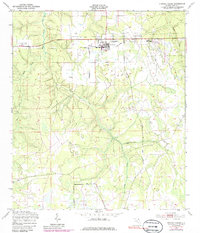
1949 Map of Penney Farms
USGS Topo · Published 1986About this map
Penney Farms serves as the focal point of this Clay County landscape, appearing here as it was surveyed in the late 1940s with mid-1970s updates. The settlement pattern is defined by the Memorial Homes and the nearby Penney Farms Sch, illustrating a structured community layout set against a backdrop of complex water systems. The hydrography is particularly dense, with the South Fork and Black Creek converging to the west, while Greens Creek and Atas Creek dominate the central and southern reaches. A notable mark of change is the Penney Farms Landing Field (Aban'd), indicating an aviation site already out of use by the time of the original survey. The inclusion of a Fire Tower and multiple water tanks suggests the essential infrastructure required for managing this North Florida terrain during the mid-20th century.
Find a feature on this map
13 named features on this map. Tap any name to fly to it.
Don’t see what you’re looking for? This feature index may not catch every label — zoom into the map to look around manually.
Map Details
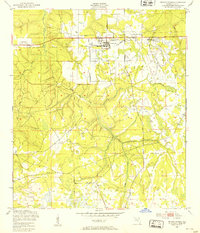
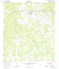
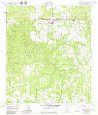
Editions of this 1949 Penney Farms Map
4 editions found
Other maps of this area

1917 · Orange Park
USGS Topo · 1:62,500

1918 · Middleburg
USGS Topo · 1:62,500

1918 · Orange Park
USGS Topo · 1:62,500

1941 · Middleburg
USGS Topo · 1:62,500

1942 · Ates Creek
USGS Topo · 1:62,500

1947 · Bostwick
USGS Topo · 1:50,000

1948 · Jacksonville
USGS Topo · 1:250,000

1949 · Rice Creek
USGS Topo · 1:24,000

1949 · Bostwick
USGS Topo · 1:24,000

1949 · Middleburg SW
USGS Topo · 1:24,000