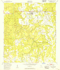
1949 Map of Penney Farms
USGS Topo · Published 1953About this map
Penney Farms serves as the focal point of this northern Florida landscape, characterized by the unique layout of the Memorial Homes community and the adjacent Penney Farms Sch. The terrain is defined by the complex drainage of the South Fork of Black Creek and Greens Creek, where low-lying wetlands intermingle with cleared agricultural lands. Evidence of mid-century infrastructure is visible in the Penney Farms Landing Field and the nearby Pass Station, reflecting the area's transport and utility network just after the Second World War. The presence of these specific institutional and aviation features suggests a planned development pattern distinct from the surrounding rural Clay County woods, anchored by the community's early 20th-century origins as a retirement colony.
Find a feature on this map
13 named features on this map. Tap any name to fly to it.
Don’t see what you’re looking for? This feature index may not catch every label — zoom into the map to look around manually.
Map Details
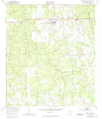
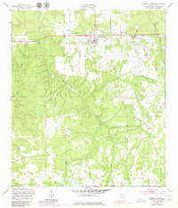
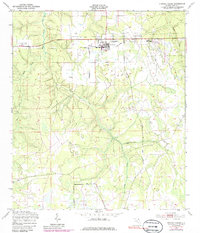
Editions of this 1949 Penney Farms Map
4 editions found
Other maps of this area

1917 · Orange Park
USGS Topo · 1:62,500

1918 · Middleburg
USGS Topo · 1:62,500

1918 · Orange Park
USGS Topo · 1:62,500

1941 · Middleburg
USGS Topo · 1:62,500

1942 · Ates Creek
USGS Topo · 1:62,500

1947 · Bostwick
USGS Topo · 1:50,000

1948 · Jacksonville
USGS Topo · 1:250,000

1949 · Rice Creek
USGS Topo · 1:24,000

1949 · Bostwick
USGS Topo · 1:24,000

1949 · Middleburg SW
USGS Topo · 1:24,000