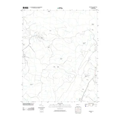
2010 Map of Pennine
USGS Topo · Published 2010About this map
Walden Ridge anchors the central terrain of this Rhea County landscape, defining the rugged geography just west of Spring City Memory Gardens. The map documents a legacy of resource extraction, particularly concentrated along Walden Mountain Rd where the Rocky Creek Number Six Mine, Norris Number One Mine, and Kirkwood Number One Mine are situated. These features reflect the industrial history of the Cumberland Plateau's eastern edge during the early 21st century.
Find a feature on this map
47 named features on this map. Tap any name to fly to it.
Don’t see what you’re looking for? This feature index may not catch every label — zoom into the map to look around manually.
Map Details
Editions of this 2010 Pennine Map
This is the sole edition of this map. No revisions or reprints were ever made.
Other maps of this area

1887 · Kingston
USGS Topo · 1:125,000

1891 · Kingston
USGS Topo · 1:125,000

1892 · Pikeville
USGS Topo · 1:125,000

1893 · Kingston
USGS Topo · 1:125,000

1895 · Pikeville
USGS Topo · 1:125,000

1909 · Sequatchie Valley
USGS Topo · 1:62,500

1910 · Pikeville
USGS Topo · 1:62,500

1912 · Crossville
USGS Topo · 1:62,500

1935 · Melvine
USGS Topo · 1:24,000

1935 · Morgan Springs
USGS Topo · 1:24,000