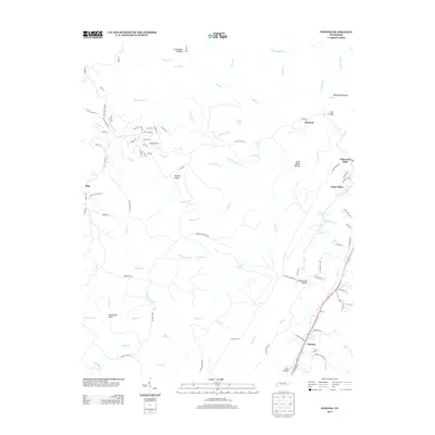
2013 Map of Pennine
USGS Topo · Published 2013About this map
Walden Ridge and the Walden Mountain Rd dominate this portion of the Cumberland Plateau, where high ridges are dissected by a complex network of creeks and forks. The landscape is defined by its dramatic hydrology, notably Stinging Fork Falls and the winding course of the Piney River. Small settlements such as Pennine and Ideal Valley are situated along the primary transportation corridors, while the higher elevations are marked by distinctive landmarks like Horseshoe Bend on Moccasin Cr and the narrow passage of Shut in Gap. The nomenclature of the hollows, including Schoolhouse Hollow, Sow Hollow, and Dead Negro Hollow, suggests a history of localized subsistence and early mountain communities. This map provides a clear view of the rural Tennessee backcountry before modern developments significantly altered the traditional patterns of the plateau.
Find a feature on this map
105 named features on this map. Tap any name to fly to it.
Don’t see what you’re looking for? This feature index may not catch every label — zoom into the map to look around manually.
Map Details
Editions of this 2013 Pennine Map
This is the sole edition of this map. No revisions or reprints were ever made.
Other maps of this area

1887 · Kingston
USGS Topo · 1:125,000

1891 · Kingston
USGS Topo · 1:125,000

1892 · Pikeville
USGS Topo · 1:125,000

1893 · Kingston
USGS Topo · 1:125,000

1895 · Pikeville
USGS Topo · 1:125,000

1909 · Sequatchie Valley
USGS Topo · 1:62,500

1910 · Pikeville
USGS Topo · 1:62,500

1912 · Crossville
USGS Topo · 1:62,500

1935 · Melvine
USGS Topo · 1:24,000

1935 · Morgan Springs
USGS Topo · 1:24,000