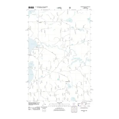
2011 Map of Pennington
USGS Topo · Published 2011About this map
Pennington and its surrounding lake country are defined by the winding course of the Mississippi River as it flows through this northern Minnesota landscape. In 2011, the settlement of Pennington remained centered near the Pennington Post Office, serving a region rich in seasonal camps and forest resources. The map highlights a significant transition in the river's flow at the Knutson Dam, which separates Cass Lake from downstream waters.
Find a feature on this map
32 named features on this map. Tap any name to fly to it.
Don’t see what you’re looking for? This feature index may not catch every label — zoom into the map to look around manually.
Map Details
Editions of this 2011 Pennington Map
This is the sole edition of this map. No revisions or reprints were ever made.
Other maps of this area

1919 · Rosy
USGS Topo · 1:62,500

1954 · Bemidji
USGS Topo · 1:250,000

1957 · Bemidji
USGS Topo · 1:250,000

1958 · Bemidji
USGS Topo · 1:250,000

1971 · Dixon Lake
USGS Topo · 1:24,000

1971 · Gimmer Lake
USGS Topo · 1:24,000

1971 · Raven Lake
USGS Topo · 1:24,000

1971 · Sucker Lakes
USGS Topo · 1:24,000

1971 · Pennington
USGS Topo · 1:24,000

1971 · Portage Lake
USGS Topo · 1:24,000