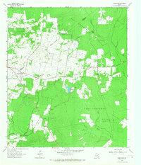
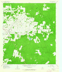
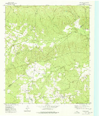
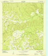
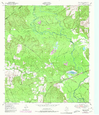
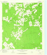
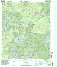
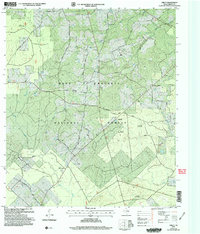
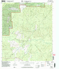
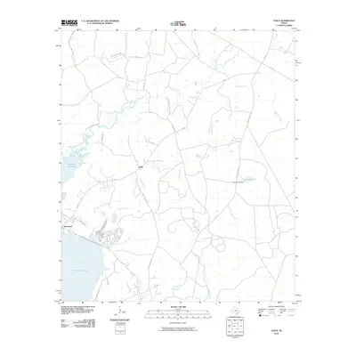
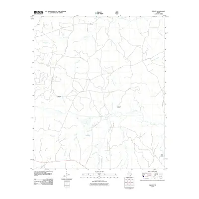
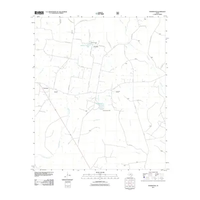
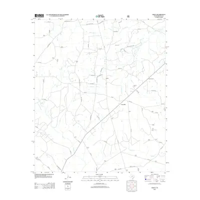
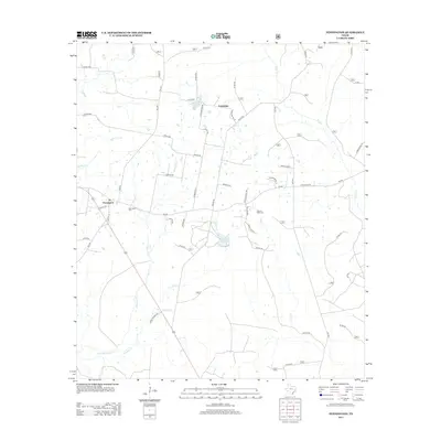
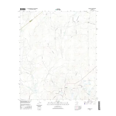
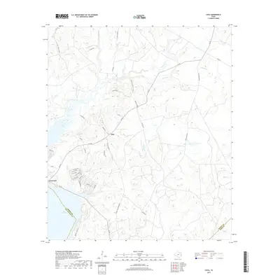
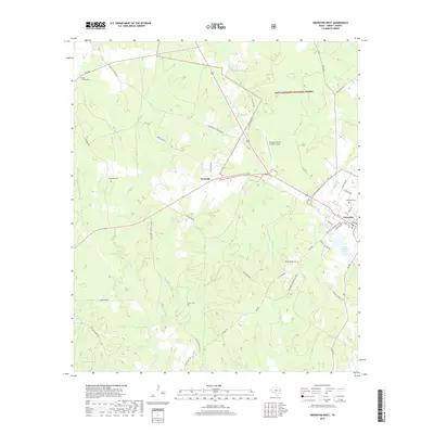
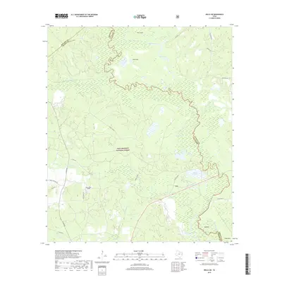
1963 Map of Pennington
USGS Topo · Published 1968About this map
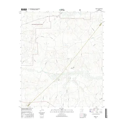
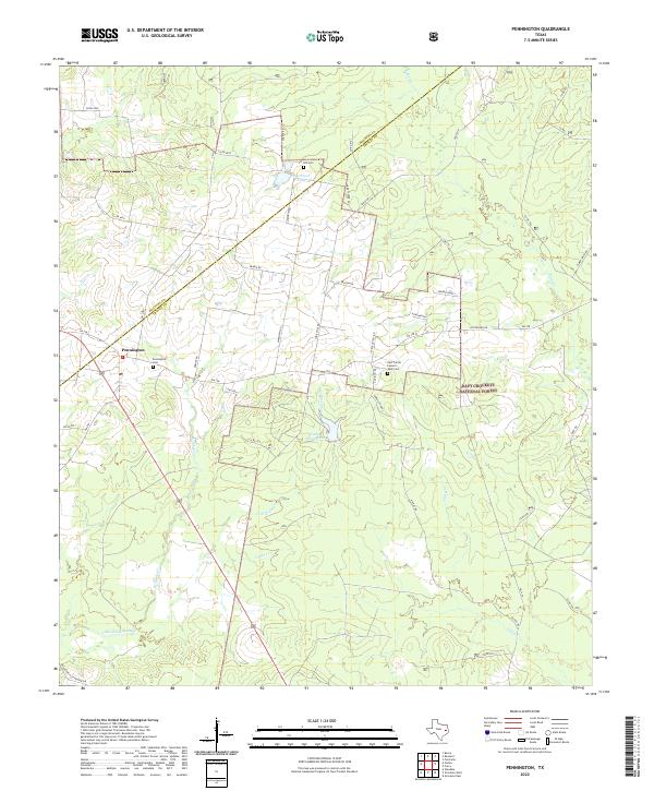
Davy Crockett National Forest blankets much of this East Texas landscape, where the county line between Houston and Trinity counties runs through thick woodlands and small clearings. Settlement is concentrated around Pennington, where a network of light-duty and unimproved roads connects rural homesteads to the Pennington Cem and Roadside Park. The area is defined by its small country congregations, including East Prairie Ch, Cross Roads Ch, and Antioch Ch, many located near significant water features like Lake Pennington. The southern portion of the quadrangle reveals a landscape etched by numerous waterways such as Louisville Creek, Caney Creek, and Brownlee Creek, alongside a prominent pipeline corridor and various jeep trails that speak to the region's mid-century utility and timber character.
Find a feature on this map
19 named features on this map. Tap any name to fly to it.
Don’t see what you’re looking for? This feature index may not catch every label — zoom into the map to look around manually.
Map Details
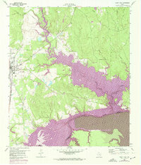
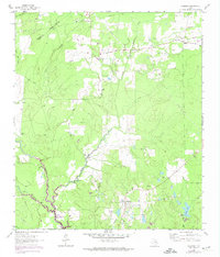
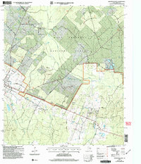
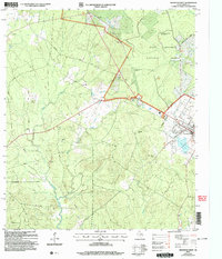
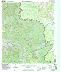
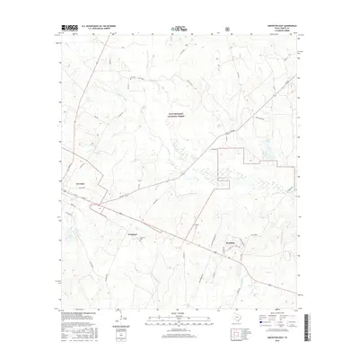
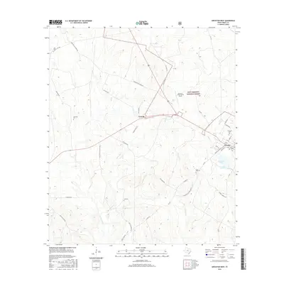
Editions of this 1963 Pennington Map
2 editions found
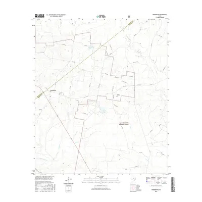
Historical Maps of Friendship Through Time
72 maps found
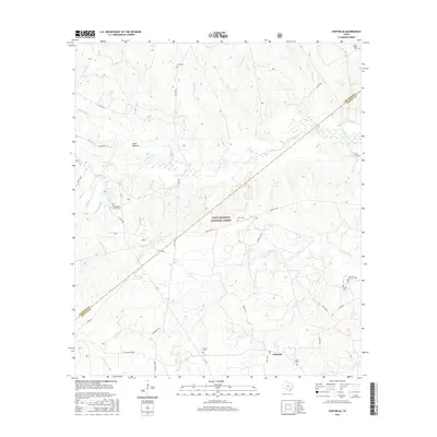
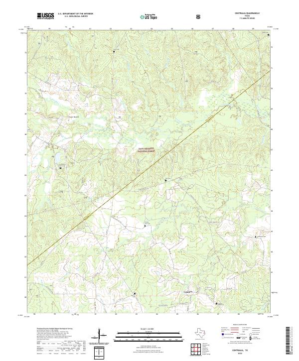
1950 Centralia
Trinity County, TX
1951 Centralia
Trinity County, TX
1951 Wells SW
Trinity County, TX
1960 Trinity East
Trinity County, TX
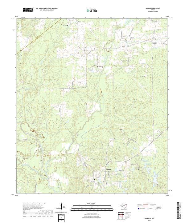
1962 Glendale
Trinity County, TX
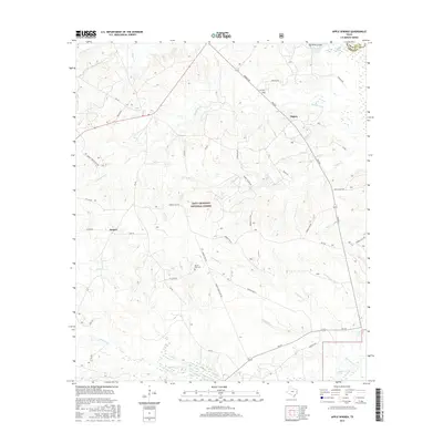
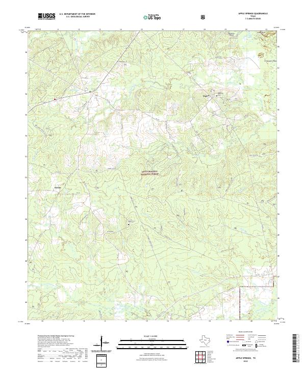
1963 Apple Springs
Trinity County, TX
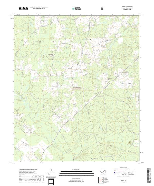
1963 Crecy
Trinity County, TX
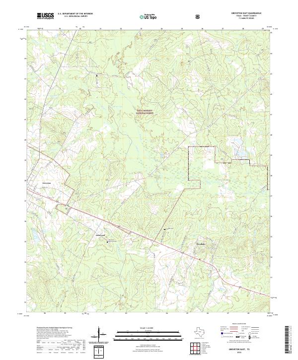
1963 Groveton East
Trinity County, TX
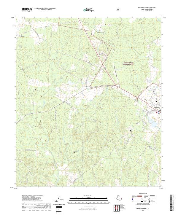
1963 Groveton West
Trinity County, TX
1963 Pennington
Trinity County, TX
1963 Trevat
Trinity County, TX
2004 Centralia
Trinity County, TX
2004 Crecy
Trinity County, TX
2004 Groveton East
Trinity County, TX
2004 Groveton West
Trinity County, TX
2004 Trevat
Trinity County, TX
2004 Wells SW
Trinity County, TX
2010 Apple Springs
Trinity County, TX
2010 Centralia
Trinity County, TX
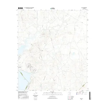
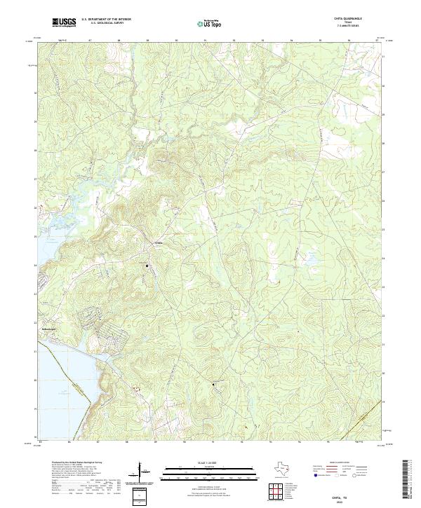
2010 Chita
Trinity County, TX
2010 Glendale
Trinity County, TX
2010 Groveton East
Trinity County, TX
2010 Groveton West
Trinity County, TX
2010 Trevat
Trinity County, TX
2010 Trinity East
Trinity County, TX
2010 Wells SW
Trinity County, TX
2011 Crecy
Trinity County, TX
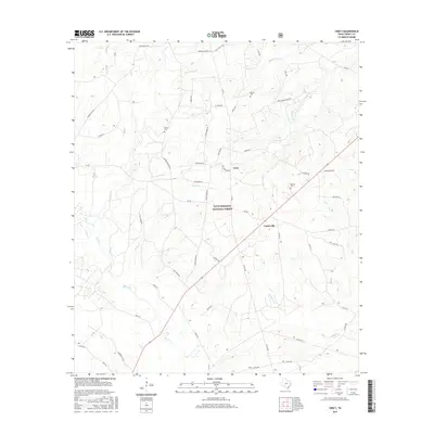
2011 Pennington
Trinity County, TX
2013 Apple Springs
Trinity County, TX
2013 Centralia
Trinity County, TX
2013 Chita
Trinity County, TX
2013 Crecy
Trinity County, TX
2013 Glendale
Trinity County, TX
2013 Groveton East
Trinity County, TX
2013 Groveton West
Trinity County, TX
2013 Pennington
Trinity County, TX
2013 Trevat
Trinity County, TX
2013 Trinity East
Trinity County, TX
2013 Wells SW
Trinity County, TX
2016 Apple Springs
Trinity County, TX
2016 Centralia
Trinity County, TX
2016 Chita
Trinity County, TX
2016 Crecy
Trinity County, TX
2016 Glendale
Trinity County, TX
2016 Groveton East
Trinity County, TX
2016 Groveton West
Trinity County, TX
2016 Pennington
Trinity County, TX
2016 Trevat
Trinity County, TX
2016 Trinity East
Trinity County, TX
2016 Wells SW
Trinity County, TX

2019 Apple Springs
Trinity County, TX
2019 Centralia
Trinity County, TX
2019 Chita
Trinity County, TX
2019 Crecy
Trinity County, TX
2019 Glendale
Trinity County, TX
2019 Groveton East
Trinity County, TX
2019 Groveton West
Trinity County, TX
2019 Pennington
Trinity County, TX
2019 Trevat
Trinity County, TX
2019 Trinity East
Trinity County, TX
2019 Wells SW
Trinity County, TX
2022 Apple Springs
Trinity County, TX
2022 Centralia
Trinity County, TX
2022 Chita
Trinity County, TX
2022 Crecy
Trinity County, TX
2022 Glendale
Trinity County, TX
2022 Groveton East
Trinity County, TX
2022 Groveton West
Trinity County, TX
2022 Pennington
Trinity County, TX
2022 Trevat
Trinity County, TX
2022 Trinity East
Trinity County, TX
2022 Wells SW
Trinity County, TX