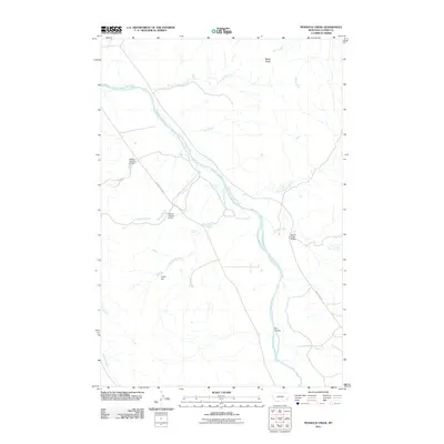
2011 Map of Pennock Creek
USGS Topo · Published 2011About this map
The Powder River carves a winding path through this corner of Custer County, serving as the primary geographical anchor for a landscape defined by its complex drainage network. Water management and local transit infrastructure are key highlights of this 2011 survey, particularly evident in the series of small impoundments such as Balsam Number 6 Dam, Balsam Number 4 Dam, and Cotton Dam. These features indicate the critical role of water capture in this arid region, where numerous ephemeral and perennial streams like Pennock Creek, Tiger Tim Creek, and Devils Hole Creek feed into the river basin.
Find a feature on this map
19 named features on this map. Tap any name to fly to it.
Don’t see what you’re looking for? This feature index may not catch every label — zoom into the map to look around manually.
Map Details
Editions of this 2011 Pennock Creek Map
This is the sole edition of this map. No revisions or reprints were ever made.
Other maps of this area

1953 · Miles City
USGS Topo · 1:250,000

1957 · Miles City
USGS Topo · 1:250,000

1958 · Miles City
USGS Topo · 1:250,000

1969 · Mizpah
USGS Topo · 1:24,000

1969 · Knowlton
USGS Topo · 1:24,000

1969 · Forty Creek
USGS Topo · 1:24,000

1969 · Tepee Butte NE
USGS Topo · 1:24,000

1969 · Locate SE
USGS Topo · 1:24,000

1969 · Tepee Butte
USGS Topo · 1:24,000
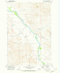
1969 · Pennock Creek
USGS Topo · 1:24,000