
1969 Map of Tepee Butte
USGS Topo · Published 1973About this map
The Powder River meanders through this portion of Custer County, shaping a landscape defined by its wide alluvial valley and the surrounding high plains. In the late 1960s, the region’s ranching character is anchored by established landmarks such as Kohones Ranch and Campbell Ranch. The map reveals a sophisticated network of water management essential for high-plains agriculture, featuring the Tepee Butte Reservoir and numerous Flowing Wells scattered near the riverbanks. Drainage systems including Little Tepee Creek, Big Tepee Creek, and Alkali Creek carve through the terrain toward the prominent landmark of Tepee Butte in the northeast. This survey captures a moment of traditional land use where natural topography and sparse, named ranching outposts dictate the settlement pattern of eastern Montana.
Find a feature on this map
13 named features on this map. Tap any name to fly to it.
Don’t see what you’re looking for? This feature index may not catch every label — zoom into the map to look around manually.
Map Details
Editions of this 1969 Tepee Butte Map
This is the sole edition of this map. No revisions or reprints were ever made.
Other maps of this area

1953 · Miles City
USGS Topo · 1:250,000

1954 · Ekalaka
USGS Topo · 1:250,000

1956 · Ekalaka
USGS Topo · 1:250,000

1957 · Miles City
USGS Topo · 1:250,000

1958 · Miles City
USGS Topo · 1:250,000

1958 · Ekalaka
USGS Topo · 1:250,000

1965 · Ekalaka
USGS Topo · 1:250,000

1969 · Tepee Butte NE
USGS Topo · 1:24,000
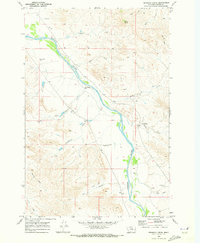
1969 · Pennock Creek
USGS Topo · 1:24,000
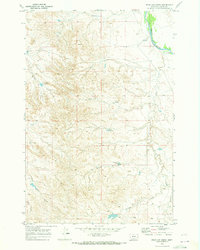
1969 · Bear Jaw Creek
USGS Topo · 1:24,000