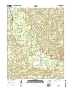
2016 Map of Penola
USGS Topo · Published 2016About this map
The Mattaponi River meanders through this portion of Caroline County, anchoring a landscape defined by its wetlands and historic road junctions. Small settlements like Shumansville and Penola are positioned along the primary north-south artery of the Richmond Tpke, while family-named crossroads such as Doggetts Fork, Wrights Fork, and Kidds Fork speak to a localized social geography. The map reveals the area's agricultural and early industrial history through features like Reedy Mill and Campbells Millpond, illustrating how the numerous swamps—including Tanyard Swamp and Union Swamp—were managed and utilized.
Find a feature on this map
67 named features on this map. Tap any name to fly to it.
Don’t see what you’re looking for? This feature index may not catch every label — zoom into the map to look around manually.
Map Details
Editions of this 2016 Penola Map
This is the sole edition of this map. No revisions or reprints were ever made.
Other maps of this area

1889 · Fredericksburg
USGS Topo · 1:125,000

1892 · Fredericksburg
USGS Topo · 1:125,000

1894 · Fredericksburg
USGS Topo · 1:125,000

1918 · Doswell
USGS Topo · 1:62,500

1918 · Aylett
USGS Topo · 1:62,500

1933 · Aylett
USGS Topo · 1:62,500

1942 · Bowling Green
USGS Topo · 1:31,680

1942 · Upper Zion
USGS Topo · 1:31,680

1942 · Woodford
USGS Topo · 1:31,680

1943 · Richmond
USGS Topo · 1:250,000