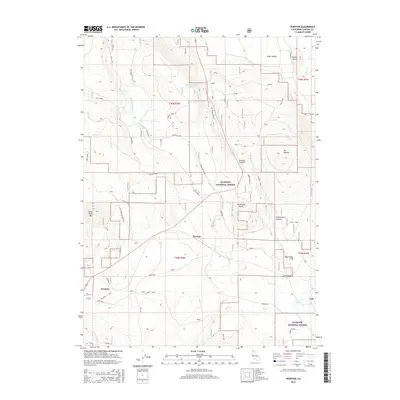
2015 Map of Penoyar
USGS Topo · Published 2015About this map
The Klamath National Forest landscape near the northern border of California is defined here by a high-elevation network of ridges and basins. Settlement is concentrated along the transport corridors of the Butte Creek drainage, where the communities of Erickson and Penoyar sit near the base of prominent peaks like Deer Mtn and Little Deer Mtn. The terrain is marked by family-named landmarks and historical passage points, including Harlan Davis Canyon and the notable Devils Gate pass.
Find a feature on this map
38 named features on this map. Tap any name to fly to it.
Don’t see what you’re looking for? This feature index may not catch every label — zoom into the map to look around manually.
Map Details
Editions of this 2015 Penoyar Map
This is the sole edition of this map. No revisions or reprints were ever made.
Other maps of this area

1886 · Modoc Lava Bed
USGS Topo · 1:250,000

1886 · Shasta
USGS Topo · 1:250,000

1892 · Modoc Lava-Bed
USGS Topo · 1:250,000

1894 · Shasta
USGS Topo · 1:250,000

1934 · Macdoel
USGS Topo · 1:96,000

1941 · Macdoel
USGS Topo · 1:125,000

1948 · Weed
USGS Topo · 1:250,000

1950 · Weed
USGS Topo · 1:250,000

1950 · Bray
USGS Topo · 1:62,500

1950 · Dorris
USGS Topo · 1:62,500