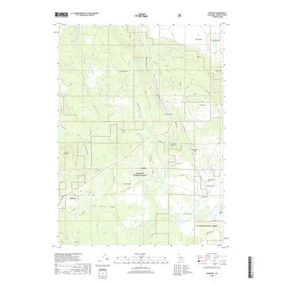
2018 Map of Penoyar
USGS Topo · Published 2018About this map
Klamath National Forest dominates this section of Siskiyou County, where the volcanic topography of the Cascade Range meets the flat expansive floor of Butte Valley. The map documents a landscape defined by timber and transit, centered on the small settlements of Erickson and Penoyar. This area serves as a transition between the elevated terrain of Mt Hebron and Little Deer Mtn and the low-lying Erickson Flats.
Find a feature on this map
40 named features on this map. Tap any name to fly to it.
Don’t see what you’re looking for? This feature index may not catch every label — zoom into the map to look around manually.
Map Details
Editions of this 2018 Penoyar Map
This is the sole edition of this map. No revisions or reprints were ever made.
Other maps of this area

1886 · Modoc Lava Bed
USGS Topo · 1:250,000

1886 · Shasta
USGS Topo · 1:250,000

1892 · Modoc Lava-Bed
USGS Topo · 1:250,000

1894 · Shasta
USGS Topo · 1:250,000

1934 · Macdoel
USGS Topo · 1:96,000

1941 · Macdoel
USGS Topo · 1:125,000

1948 · Weed
USGS Topo · 1:250,000

1950 · Weed
USGS Topo · 1:250,000

1950 · Bray
USGS Topo · 1:62,500

1950 · Dorris
USGS Topo · 1:62,500