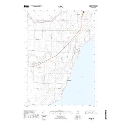
2018 Map of Pensaukee
USGS Topo · Published 2018About this map
Green Bay and the western shore of Lake Michigan define this Oconto County landscape, where the waters of the Pensaukee River and Oconto River meet the bay. The map documents a predominantly rural and marshy environment, with the small settlements of Pensaukee and Oak Orchard situated near the coastline. Inland, the community of Brookside centers around the junction of Brookside Creek and localized infrastructure like the Brookside Cemetery. The northern boundary is marked by the Oconto-J Douglas Bake Municipal Airport, while the interior is interlaced with named local roads such as Kruegers Quarry Road and Morning Retreat Road, reflecting a pattern of low-density residential and agricultural use typical of the Wisconsin lakeside. This survey provides a precise accounting of the contemporary hydrography, including small drainages like Kirchner Creek and the Little River.
Find a feature on this map
55 named features on this map. Tap any name to fly to it.
Don’t see what you’re looking for? This feature index may not catch every label — zoom into the map to look around manually.
Map Details
Editions of this 2018 Pensaukee Map
This is the sole edition of this map. No revisions or reprints were ever made.
Other maps of this area

1954 · New Franken
USGS Topo · 1:62,500

1954 · Manitowoc
USGS Topo · 1:250,000

1954 · Green Bay
USGS Topo · 1:62,500

1955 · Green Bay
USGS Topo · 1:250,000

1956 · Oconto
USGS Topo · 1:62,500

1956 · Oconto Falls
USGS Topo · 1:62,500

1958 · Manitowoc
USGS Topo · 1:250,000
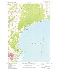
1974 · Oconto East
USGS Topo · 1:24,000

1974 · Abrams
USGS Topo · 1:24,000
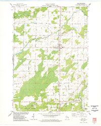
1974 · Lena
USGS Topo · 1:24,000