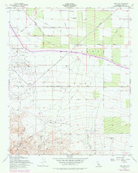
1953 Map of Pentland
USGS Topo · Published 1976About this map
Oil wells, sumps, and tanks dominate the landscape of Maricopa Flat, illustrating the intense petroleum extraction efforts in Kern County during the mid-20th century. The settlement of Pentland serves as a central point for the industrial infrastructure, supported by the Sunset Railroad and an extensive network of pipelines that traverse the arid terrain. The map captures a moment of transition where traditional landforms like Bitterwater Creek and Cienaga Canyon meet the engineering of the California Aqueduct, which cuts through the northern sections near San Emidio. Local transport is defined by the Sunset Highway and the Old Levee Grade, reflecting the logistical needs of an area driven by mineral wealth. Genealogists and industrial historians can trace the specific placement of individual wells and local infrastructure such as the Landing Strip and Baller Creek.
Find a feature on this map
18 named features on this map. Tap any name to fly to it.
Don’t see what you’re looking for? This feature index may not catch every label — zoom into the map to look around manually.
Map Details
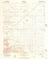
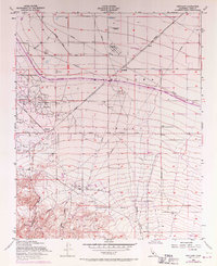
Editions of this 1953 Pentland Map
3 editions found
Other maps of this area

1903 · Mt. Pinos
USGS Topo · 1:125,000

1910 · Buena Vista Lake
USGS Topo · 1:125,000

1912 · Buena Vista Lake
USGS Topo · 1:125,000

1929 · Mouth of Kern
USGS Topo · 1:31,680

1930 · Millux
USGS Topo · 1:31,680

1931 · Pentland Junction
USGS Topo · 1:31,680

1931 · Hayes Ranch
USGS Topo · 1:31,680

1932 · Mouth of Kern
USGS Topo · 1:31,680

1933 · Hayes Ranch
USGS Topo · 1:31,680
1933 · Millux
USGS Topo · 1:31,680