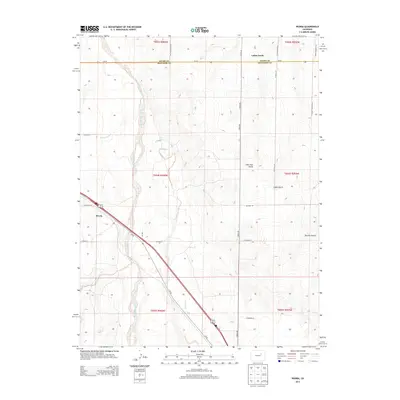
2013 Map of Peoria
USGS Topo · Published 2013About this map
The settlement of Peoria serves as the primary focal point on the high plains of the Adams and Arapahoe County border. This region is defined by a network of seasonal watercourses and drainage systems, most notably the wide corridor of Middle Bijou Creek and its tributary E Bijou Cr. The landscape is characterized by its wide, open drainages such as Lone Tree Gulch and Bouldin Gulch, which cut through the terrain toward the Bijou basin.
Find a feature on this map
33 named features on this map. Tap any name to fly to it.
Don’t see what you’re looking for? This feature index may not catch every label — zoom into the map to look around manually.
Map Details
Editions of this 2013 Peoria Map
This is the sole edition of this map. No revisions or reprints were ever made.
Other maps of this area

1951 · Leader SE
USGS Topo · 1:24,000

1952 · Leader SW
USGS Topo · 1:24,000

1953 · Denver
USGS Topo · 1:250,000

1954 · Limon
USGS Topo · 1:250,000

1956 · Peoria
USGS Topo · 1:24,000

1956 · Byers
USGS Topo · 1:24,000

1957 · Denver
USGS Topo · 1:250,000

1957 · Limon
USGS Topo · 1:250,000

1958 · Limon
USGS Topo · 1:250,000

1958 · Denver
USGS Topo · 1:250,000