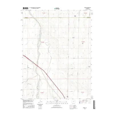
2016 Map of Peoria
USGS Topo · Published 2016About this map
Peoria sits as a central point of interest in this Eastern Plains landscape, where the agricultural grid meets the winding paths of the High Plains drainage systems. The terrain is defined by a network of seasonal watercourses, most notably the braided channels of Middle Bijou Creek and East Bijou Creek, which cut diagonally through the survey area. These riparian corridors provide a distinct contrast to the straight section-line roads like Peoria Rd and Huntington Rd.
Find a feature on this map
36 named features on this map. Tap any name to fly to it.
Don’t see what you’re looking for? This feature index may not catch every label — zoom into the map to look around manually.
Map Details
Editions of this 2016 Peoria Map
This is the sole edition of this map. No revisions or reprints were ever made.
Other maps of this area

1951 · Leader SE
USGS Topo · 1:24,000

1952 · Leader SW
USGS Topo · 1:24,000

1953 · Denver
USGS Topo · 1:250,000

1954 · Limon
USGS Topo · 1:250,000

1956 · Peoria
USGS Topo · 1:24,000

1956 · Byers
USGS Topo · 1:24,000

1957 · Denver
USGS Topo · 1:250,000

1957 · Limon
USGS Topo · 1:250,000

1958 · Limon
USGS Topo · 1:250,000

1958 · Denver
USGS Topo · 1:250,000