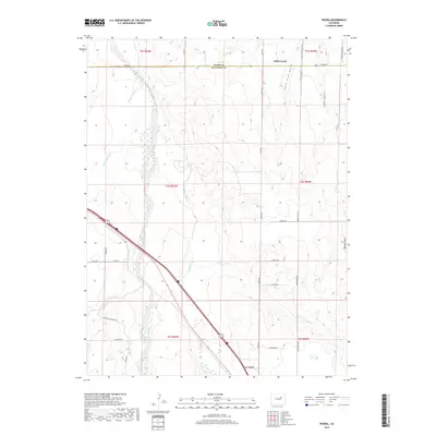
2019 Map of Peoria
USGS Topo · Published 2019About this map
Deer Trail anchors the southern portion of this landscape, situated at the intersection of a modernized transport network that cuts across the High Plains. The terrain is defined by a dense system of seasonal drainages, most notably the winding paths of Middle Bijou Creek and East Bijou Creek, which have carved intricate contours into the surrounding prairie. These waterways, along with Rattlesnake Cr and Lone Tree Gulch, dictate the layout of the local section lines and rural roads that grid the area.
Find a feature on this map
35 named features on this map. Tap any name to fly to it.
Don’t see what you’re looking for? This feature index may not catch every label — zoom into the map to look around manually.
Map Details
Editions of this 2019 Peoria Map
This is the sole edition of this map. No revisions or reprints were ever made.
Other maps of this area

1951 · Leader SE
USGS Topo · 1:24,000

1952 · Leader SW
USGS Topo · 1:24,000

1953 · Denver
USGS Topo · 1:250,000

1954 · Limon
USGS Topo · 1:250,000

1956 · Peoria
USGS Topo · 1:24,000

1956 · Byers
USGS Topo · 1:24,000

1957 · Denver
USGS Topo · 1:250,000

1957 · Limon
USGS Topo · 1:250,000

1958 · Limon
USGS Topo · 1:250,000

1958 · Denver
USGS Topo · 1:250,000