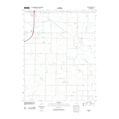
2009 Map of Peoria
USGS Topo · Published 2009About this map
The Marais des Cygnes River meanders across this rural Franklin County landscape, shaping the geography near the settlements of Peoria and Imes. This 2009 survey reflects a predominantly agricultural region defined by a regular grid of section roads including Nebraska Rd, Oregon Rd, and Texas Rd. The waterway system is particularly dense here, with Ottawa Creek and Middle Creek feeding into the main river valley, while Hickory Creek and West Branch Mosquito Creek drain the eastern reaches. Local history is anchored by the Peoria Cemetery and Fouts Cemetery, providing critical landmarks for genealogical research in this part of Kansas. Transportation is anchored by State Hwy 68 at the northern boundary, connecting these small communities to the wider region.
Find a feature on this map
35 named features on this map. Tap any name to fly to it.
Don’t see what you’re looking for? This feature index may not catch every label — zoom into the map to look around manually.
Map Details
Editions of this 2009 Peoria Map
This is the sole edition of this map. No revisions or reprints were ever made.
Other maps of this area

1885 · Garnett
USGS Topo · 1:125,000

1885 · Lawrence
USGS Topo · 1:125,000

1889 · Lawrence
USGS Topo · 1:125,000

1894 · Garnett
USGS Topo · 1:125,000

1947 · Lawrence
USGS Topo · 1:250,000

1950 · Lawrence
USGS Topo · 1:250,000

1956 · Wellsville
USGS Topo · 1:24,000

1956 · Ottawa North
USGS Topo · 1:24,000

1956 · Le Loup
USGS Topo · 1:24,000

1956 · Ottawa South
USGS Topo · 1:24,000