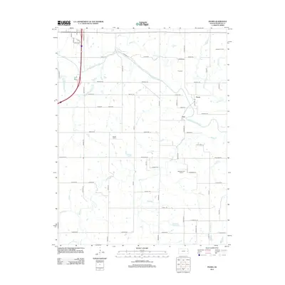
2012 Map of Peoria
USGS Topo · Published 2012About this map
The Marais des Cygnes River meanders across this Franklin County landscape, shaping the geography between the small settlements of Peoria and Imes. This modern survey documents the area's agricultural and industrial character, notably including the Wellsville Oil Field in the northeast corner and a series of rural flight strips such as Harrod Airport and Highland Farm Airport. The map provides specific locations for local genealogical research, marking the Peoria Cem and Fouts Cem. Tributaries like Ottawa Cr and Middle Cr divide the regular grid of county roads, while local recreation is represented by Mears Park. The terrain is characterized by these slow-moving waterways and a dense network of naming-bearing thoroughfares like Nebraska Rd and Tennessee Rd that facilitate movement between the river valley and the surrounding uplands.
Find a feature on this map
50 named features on this map. Tap any name to fly to it.
Don’t see what you’re looking for? This feature index may not catch every label — zoom into the map to look around manually.
Map Details
Editions of this 2012 Peoria Map
This is the sole edition of this map. No revisions or reprints were ever made.
Other maps of this area

1885 · Garnett
USGS Topo · 1:125,000

1885 · Lawrence
USGS Topo · 1:125,000

1889 · Lawrence
USGS Topo · 1:125,000

1894 · Garnett
USGS Topo · 1:125,000

1947 · Lawrence
USGS Topo · 1:250,000

1950 · Lawrence
USGS Topo · 1:250,000

1956 · Wellsville
USGS Topo · 1:24,000

1956 · Ottawa North
USGS Topo · 1:24,000

1956 · Le Loup
USGS Topo · 1:24,000

1956 · Ottawa South
USGS Topo · 1:24,000