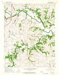
1962 Map of Peoria
USGS Topo · Published 1964About this map
The Marais Des Cygnes River meanders across this Franklin County landscape, shaping the development of the river valley during the early 1960s. A significant historical marker, the Old Indian Treaty Boundary, bisects the terrain, providing a look at early land division and tribal history in eastern Kansas. The Missouri Pacific railroad follows the northern riverbank, connecting the small settlement of Peoria to the broader regional economy. Local social life is anchored by landmarks like the Elm Grove Community Hall, the Hawkins Sch, and rural congregations at Union Chapel and Ruhamah Ch. The map also documents local industry through the Wellsville Oil Field in the northeast and scattered Quarry and Gravel Pit sites, while the Ottawa Municipal Airport appears on the western edge, signaling mid-century infrastructure growth.
Find a feature on this map
27 named features on this map. Tap any name to fly to it.
Don’t see what you’re looking for? This feature index may not catch every label — zoom into the map to look around manually.
Map Details
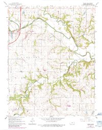
Editions of this 1962 Peoria Map
2 editions found
Other maps of this area

1885 · Garnett
USGS Topo · 1:125,000

1885 · Lawrence
USGS Topo · 1:125,000

1889 · Lawrence
USGS Topo · 1:125,000

1894 · Garnett
USGS Topo · 1:125,000

1947 · Lawrence
USGS Topo · 1:250,000

1950 · Lawrence
USGS Topo · 1:250,000

1956 · Wellsville
USGS Topo · 1:24,000

1956 · Ottawa North
USGS Topo · 1:24,000

1956 · Le Loup
USGS Topo · 1:24,000

1956 · Ottawa South
USGS Topo · 1:24,000