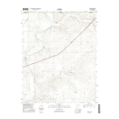
2016 Map of Peoria
USGS Topo · Published 2016About this map
The Spring River winds through the borderlands of Northeast Oklahoma and Southeast Kansas, anchoring a landscape shaped by rural settlements and waterway crossings. Near the Devils Promenade Bridge, the terrain is marked by the deep cut of Devils Hollow and the broader drainage of Modoc Valley. The community of Peoria serves as a central point in Ottawa County, connected by a rigid grid of section roads that contrast with the organic meanders of Warren Br and Flint Br. Local history is preserved in sites like the Peoria Cem and Newman Cem, which reflect the generations that farmed and settled this region. Further north, the settlement of Five Mile sits near the state line, where Fivemile Cr and Little Fivemile Cr drain the high ground. The map details a transition from the upland reaches of Jackson Prairie toward the riparian corridor of the river, illustrating the persistent agricultural and residential patterns of this tri-state vicinity.
Find a feature on this map
54 named features on this map. Tap any name to fly to it.
Don’t see what you’re looking for? This feature index may not catch every label — zoom into the map to look around manually.
Map Details
Editions of this 2016 Peoria Map
This is the sole edition of this map. No revisions or reprints were ever made.
Other maps of this area

1886 · Joplin
USGS Topo · 1:125,000

1894 · Joplin
USGS Topo · 1:125,000

1907 · Wyandotte
USGS Topo · 1:125,000

1909 · Wyandotte
USGS Topo · 1:125,000

1918 · Columbus
USGS Topo · 1:62,500

1947 · Joplin
USGS Topo · 1:250,000

1949 · Joplin
USGS Topo · 1:250,000

1949 · Seneca
USGS Topo · 1:24,000

1949 · Racine
USGS Topo · 1:24,000

1950 · Seneca
USGS Topo · 1:24,000