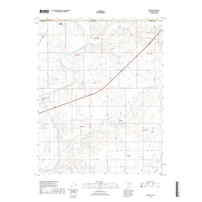
2018 Map of Peoria
USGS Topo · Published 2018About this map
The Spring River carves a significant path through the borderlands of Kansas and Oklahoma, defining the landscape of this 2018 survey. Anchored by the community of Baxter Springs in the northwest, the map documents a transition from the agricultural uplands of Jackson Prairie to the river valleys. The settlement of Peoria is positioned in the south-central portion of the quadrangle, serving as a focal point for local history along with the nearby Peoria Cem.
Find a feature on this map
60 named features on this map. Tap any name to fly to it.
Don’t see what you’re looking for? This feature index may not catch every label — zoom into the map to look around manually.
Map Details
Editions of this 2018 Peoria Map
This is the sole edition of this map. No revisions or reprints were ever made.
Other maps of this area

1886 · Joplin
USGS Topo · 1:125,000

1894 · Joplin
USGS Topo · 1:125,000

1907 · Wyandotte
USGS Topo · 1:125,000

1909 · Wyandotte
USGS Topo · 1:125,000

1918 · Columbus
USGS Topo · 1:62,500

1947 · Joplin
USGS Topo · 1:250,000

1949 · Joplin
USGS Topo · 1:250,000

1949 · Seneca
USGS Topo · 1:24,000

1949 · Racine
USGS Topo · 1:24,000

1950 · Seneca
USGS Topo · 1:24,000