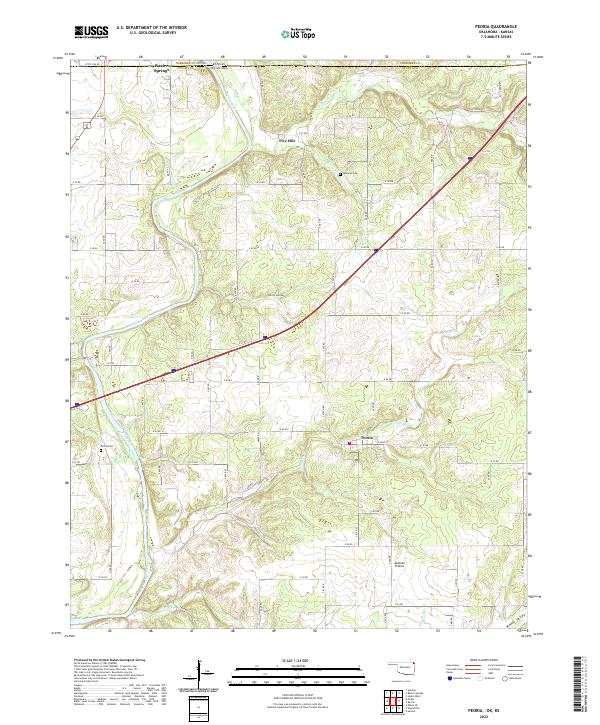
2022 Map of Peoria
USGS Topo · Published 2022About this map
Peoria and the surrounding rural landscape of Ottawa County sit just south of the Kansas border, where the Spring River winds through the terrain. The community of Baxter Springs occupies the northwestern corner of this area, marking the transition between the two states along State Line Rd. The map reveals a region defined by its watercourses and open spaces, including the expansive Jackson Prairie and the natural depression of Devils Hollow.
Find a feature on this map
41 named features on this map. Tap any name to fly to it.
Don’t see what you’re looking for? This feature index may not catch every label — zoom into the map to look around manually.
Map Details
Editions of this 2022 Peoria Map
This is the sole edition of this map. No revisions or reprints were ever made.
Other maps of this area

1886 · Joplin
USGS Topo · 1:125,000

1894 · Joplin
USGS Topo · 1:125,000

1907 · Wyandotte
USGS Topo · 1:125,000

1909 · Wyandotte
USGS Topo · 1:125,000

1918 · Columbus
USGS Topo · 1:62,500

1947 · Joplin
USGS Topo · 1:250,000

1949 · Joplin
USGS Topo · 1:250,000

1949 · Seneca
USGS Topo · 1:24,000

1949 · Racine
USGS Topo · 1:24,000

1950 · Seneca
USGS Topo · 1:24,000