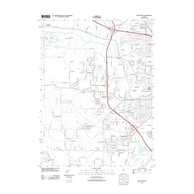
2012 Map of Peoria West
USGS Topo · Published 2012About this map
Bartonville and Bellevue anchor the urban landscape west of the Illinois River in this 2012 survey, which illustrates the intersection of industrial transport and suburban development. The presence of the General Downing - Peoria International Airport and the expansive State Hospital Farm highlight large-scale institutional land use in the southern portion of the quadrangle. For those studying local history, the map provides precise locations for several burial grounds, including Saint John's Lutheran Cem and the Peoria County Farm Cem.
Find a feature on this map
85 named features on this map. Tap any name to fly to it.
Don’t see what you’re looking for? This feature index may not catch every label — zoom into the map to look around manually.
Map Details
Editions of this 2012 Peoria West Map
This is the sole edition of this map. No revisions or reprints were ever made.
Other maps of this area

1893 · Dunlap
USGS Topo · 1:62,500

1898 · Dunlap
USGS Topo · 1:62,500

1905 · Peoria
USGS Topo · 1:62,500

1927 · Peoria
USGS Topo · 1:62,500

1930 · Glasford
USGS Topo · 1:62,500

1932 · Dunlap
USGS Topo · 1:62,500

1933 · Dunlap
USGS Topo · 1:62,500

1937 · Dunlap
USGS Topo · 1:62,500

1944 · Elmwood
USGS Topo · 1:62,500

1948 · Elmwood
USGS Topo · 1:62,500