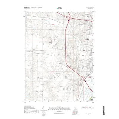
2018 Map of Peoria West
USGS Topo · Published 2018About this map
Peoria and its western suburbs anchor this landscape, where the urban grid of West Peoria meets the dissected upland terrain of Peoria Co. The General Downing - Peoria International Airport occupies a prominent plateau in the southern half of the map, serving as a modern hub for the region. The map reveals a high density of historical burial grounds, including Saint Mary's Cem, Hebrew Cem, and several church-affiliated sites like Saint John's Lutheran Cem near Norwood.
Find a feature on this map
55 named features on this map. Tap any name to fly to it.
Don’t see what you’re looking for? This feature index may not catch every label — zoom into the map to look around manually.
Map Details
Editions of this 2018 Peoria West Map
This is the sole edition of this map. No revisions or reprints were ever made.
Other maps of this area

1893 · Dunlap
USGS Topo · 1:62,500

1898 · Dunlap
USGS Topo · 1:62,500

1905 · Peoria
USGS Topo · 1:62,500

1927 · Peoria
USGS Topo · 1:62,500

1930 · Glasford
USGS Topo · 1:62,500

1932 · Dunlap
USGS Topo · 1:62,500

1933 · Dunlap
USGS Topo · 1:62,500

1937 · Dunlap
USGS Topo · 1:62,500

1944 · Elmwood
USGS Topo · 1:62,500

1948 · Elmwood
USGS Topo · 1:62,500