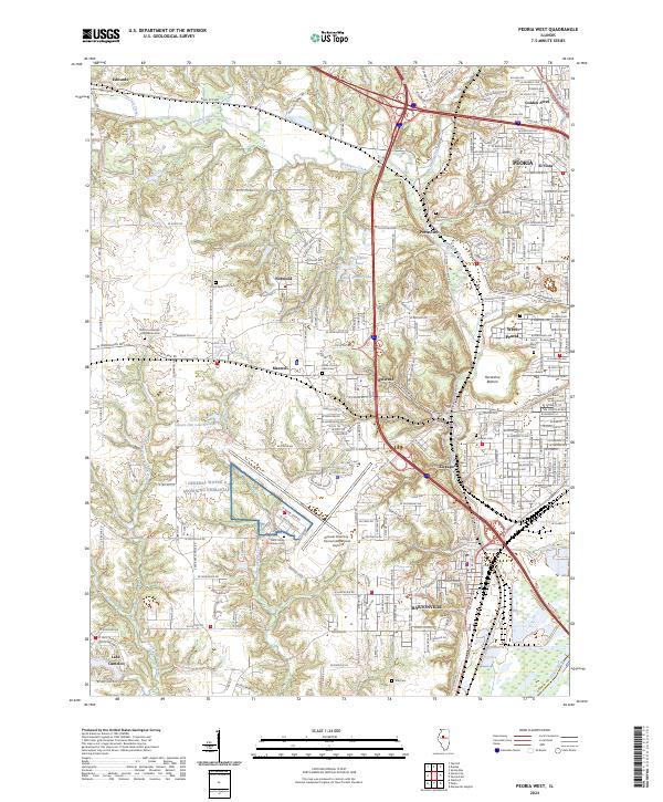
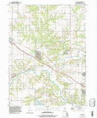
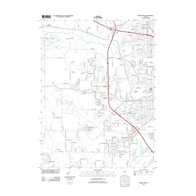
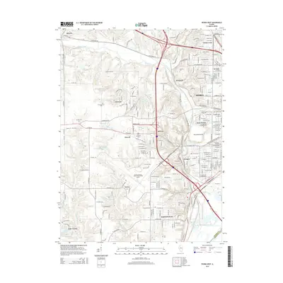
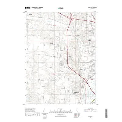
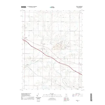
2024 Map of Peoria West
USGS Topo · Published 2024About this map
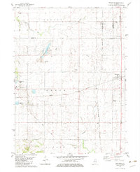
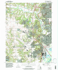
The western outskirts of Peoria and West Peoria are defined by a complex network of suburban expansion and historical burial grounds. The landscape is deeply carved by Kickapoo Creek and its tributaries, including Deer Lick Creek and Blue Hollow Creek, which navigate the elevation changes near Horseshoe Bottom. This 2024 survey captures the significant footprint of the General Downing - Peoria International Airport, which dominates the central portion of the map.
Find a feature on this map
52 named features on this map. Tap any name to fly to it.
Don’t see what you’re looking for? This feature index may not catch every label — zoom into the map to look around manually.
Map Details
Editions of this 2024 Peoria West Map
This is the sole edition of this map. No revisions or reprints were ever made.
Historical Maps of Peoria Through Time
34 maps found
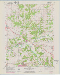
1949 Peoria West
Peoria County, IL
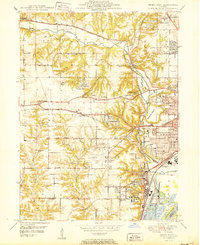
1950 Peoria West
Peoria County, IL
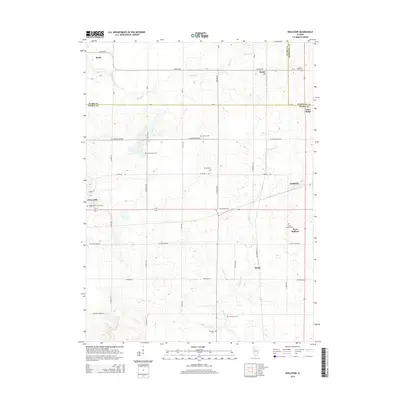
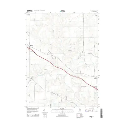
1971 Oak Hill
Peoria County, IL
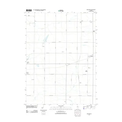
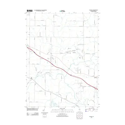
1982 Edelstein
Peoria County, IL
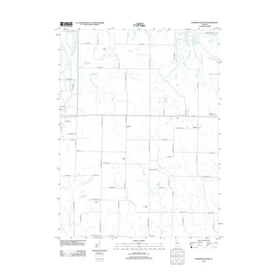
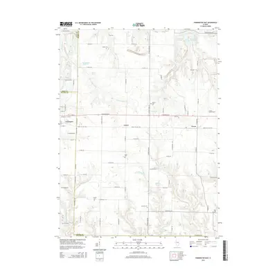
1982 Farmington East
Peoria County, IL
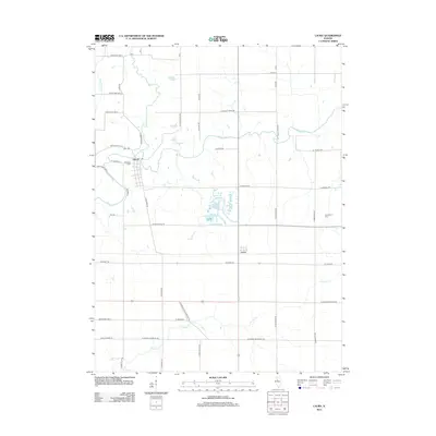
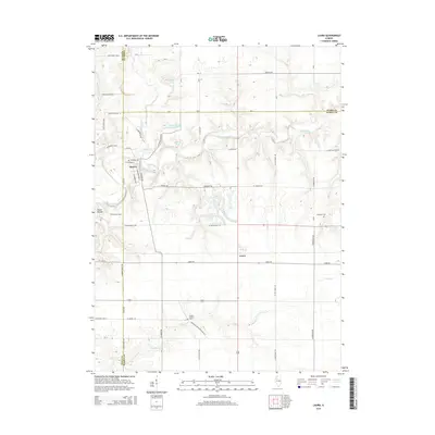
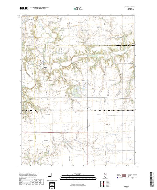
1982 Laura
Peoria County, IL
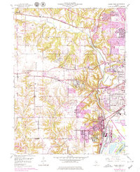
1996 Peoria West
Peoria County, IL
1997 Oak Hill
Peoria County, IL
1998 Edelstein
Peoria County, IL
2012 Edelstein
Peoria County, IL
2012 Farmington East
Peoria County, IL
2012 Laura
Peoria County, IL
2012 Oak Hill
Peoria County, IL
2012 Peoria West
Peoria County, IL
2015 Edelstein
Peoria County, IL
2015 Farmington East
Peoria County, IL
2015 Laura
Peoria County, IL
2015 Oak Hill
Peoria County, IL
2015 Peoria West
Peoria County, IL
2018 Edelstein
Peoria County, IL
2018 Farmington East
Peoria County, IL
2018 Laura
Peoria County, IL
2018 Oak Hill
Peoria County, IL
2018 Peoria West
Peoria County, IL
2021 Edelstein
Peoria County, IL
2021 Farmington East
Peoria County, IL
2021 Laura
Peoria County, IL
2021 Oak Hill
Peoria County, IL
2021 Peoria West
Peoria County, IL
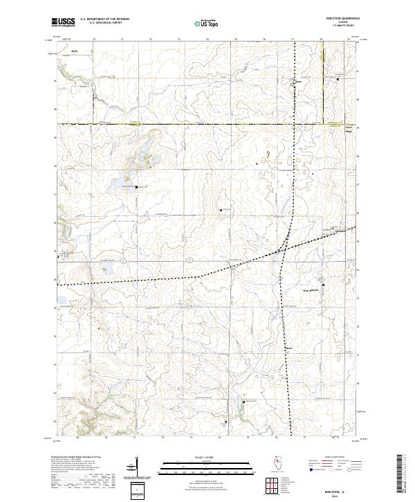
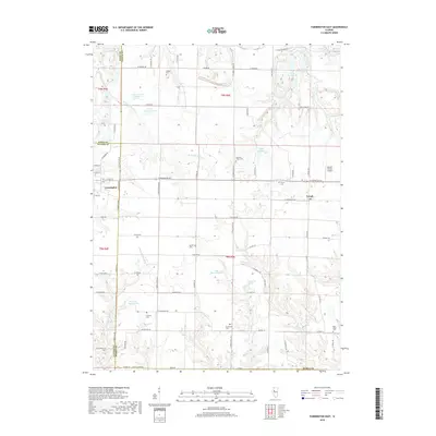
2024 Edelstein
Peoria County, IL
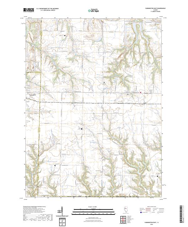
2024 Farmington East
Peoria County, IL
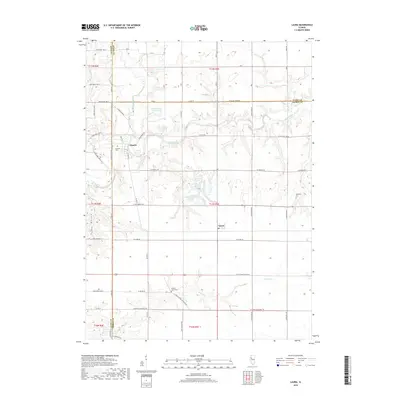
2024 Laura
Peoria County, IL

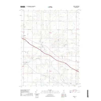
2024 Oak Hill
Peoria County, IL
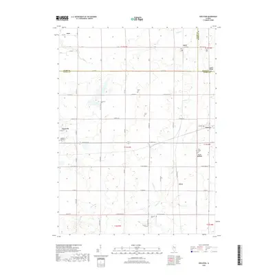
2024 Peoria West
Peoria County, IL