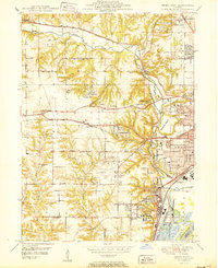
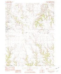
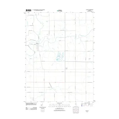
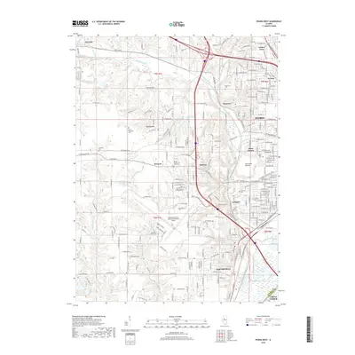
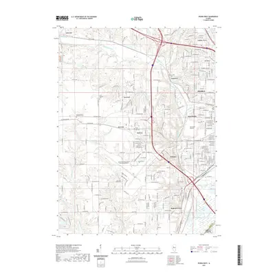
1950 Map of Peoria West
USGS Topo · Published 1950About this map
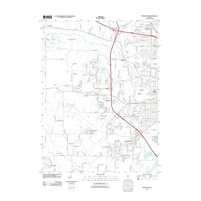
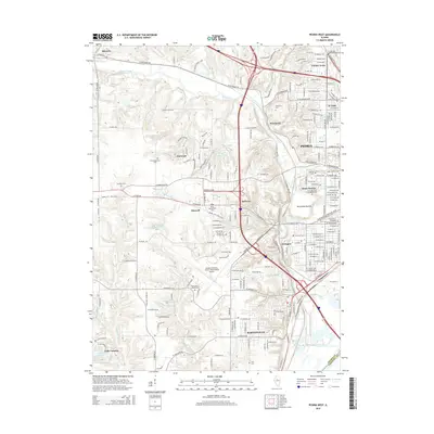
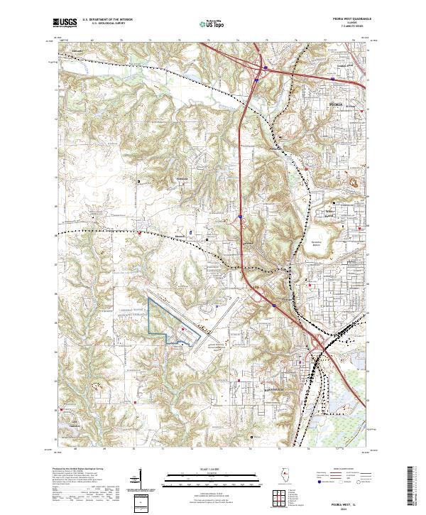
Peoria and its western suburbs show a landscape of rapid expansion and industrial integration in the mid-20th century. The intricate rail network including the Chicago and North Western and Chicago Burlington and Quincy lines underscores the region's role as a major Midwestern transportation hub. Large institutional footprints such as the Peoria State Hospital and its associated State Hospital Farm near Bartonville dominate the southern portion of the map, while the Peoria Municipal Airport signals the era's shift toward aviation. Along the Illinois River, the Peoria Lock and Dam facilitates heavy commercial traffic. Between the growing residential blocks of West Peoria and Bellevue, rural remnants persist in the form of numerous country schools like Howarth Sch and Walters Sch, alongside evidence of resource extraction at the local Strip Mine.
Find a feature on this map
64 named features on this map. Tap any name to fly to it.
Don’t see what you’re looking for? This feature index may not catch every label — zoom into the map to look around manually.
Map Details
Editions of this 1950 Peoria West Map
This is the sole edition of this map. No revisions or reprints were ever made.
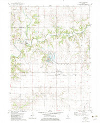
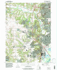
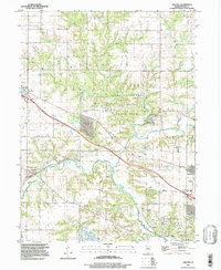
Historical Maps of Peoria Through Time
34 maps found
1949 Peoria West
Peoria County, IL
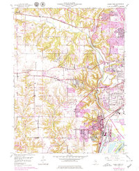
1950 Peoria West
Peoria County, IL
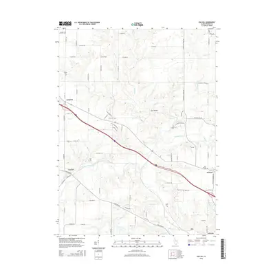
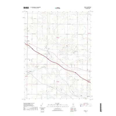
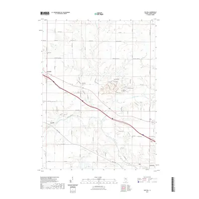
1971 Oak Hill
Peoria County, IL
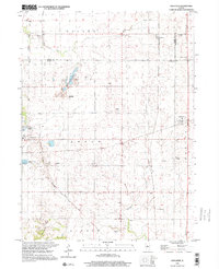
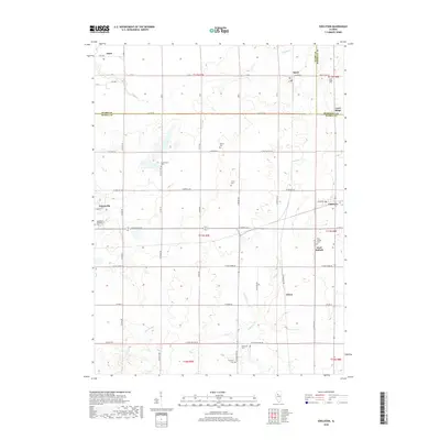
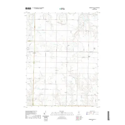
1982 Edelstein
Peoria County, IL
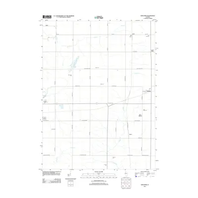
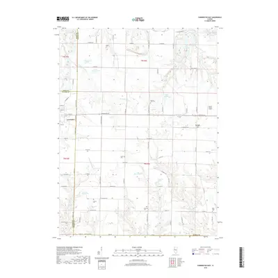
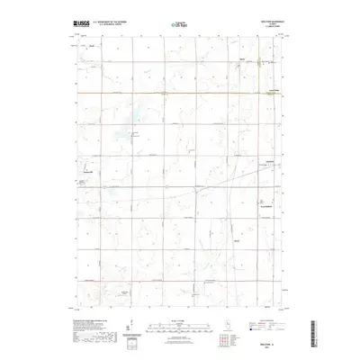
1982 Farmington East
Peoria County, IL
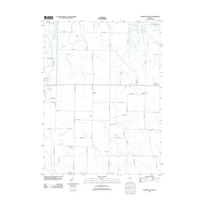
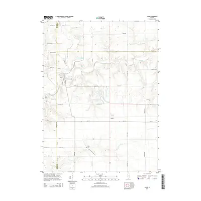
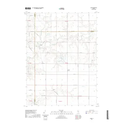
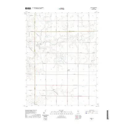
1982 Laura
Peoria County, IL
1996 Peoria West
Peoria County, IL
1997 Oak Hill
Peoria County, IL
1998 Edelstein
Peoria County, IL
2012 Edelstein
Peoria County, IL
2012 Farmington East
Peoria County, IL
2012 Laura
Peoria County, IL
2012 Oak Hill
Peoria County, IL
2012 Peoria West
Peoria County, IL
2015 Edelstein
Peoria County, IL
2015 Farmington East
Peoria County, IL
2015 Laura
Peoria County, IL
2015 Oak Hill
Peoria County, IL
2015 Peoria West
Peoria County, IL
2018 Edelstein
Peoria County, IL
2018 Farmington East
Peoria County, IL
2018 Laura
Peoria County, IL
2018 Oak Hill
Peoria County, IL
2018 Peoria West
Peoria County, IL
2021 Edelstein
Peoria County, IL
2021 Farmington East
Peoria County, IL
2021 Laura
Peoria County, IL
2021 Oak Hill
Peoria County, IL
2021 Peoria West
Peoria County, IL
2024 Edelstein
Peoria County, IL
2024 Farmington East
Peoria County, IL
2024 Laura
Peoria County, IL

2024 Oak Hill
Peoria County, IL
2024 Peoria West
Peoria County, IL