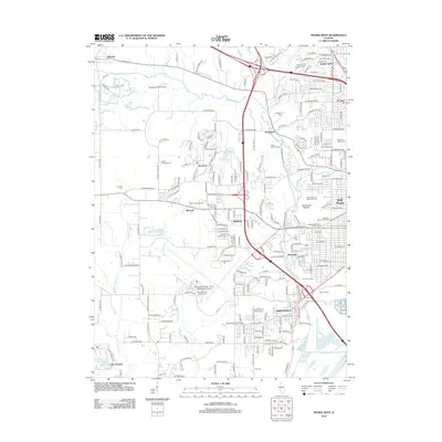
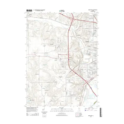
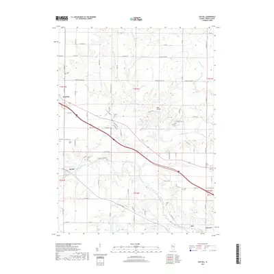
1949 Map of Peoria West
USGS Topo · Published 1979About this map
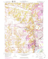
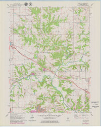
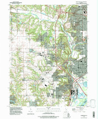
Kickapoo Creek winds through the heart of the central Illinois landscape, separating the developing urban fringes of Peoria from the rural uplands to the west. This mid-century survey captures a period of significant post-war expansion, with the Greater Peoria Airport serving as a massive modern anchor for the region. The map highlights the area's diverse institutional and industrial history, from the expansive grounds of the Peoria State Hospital and State Hospital Farm in Bartonville to active extractive sites like the Strip Mine north of Norwood.
Find a feature on this map
61 named features on this map. Tap any name to fly to it.
Don’t see what you’re looking for? This feature index may not catch every label — zoom into the map to look around manually.
Map Details
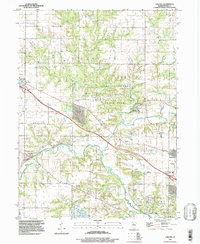
Editions of this 1949 Peoria West Map
3 editions found
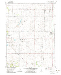
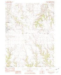
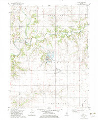
Historical Maps of Peoria Through Time
34 maps found
1949 Peoria West
Peoria County, IL
1950 Peoria West
Peoria County, IL
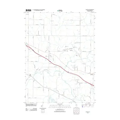
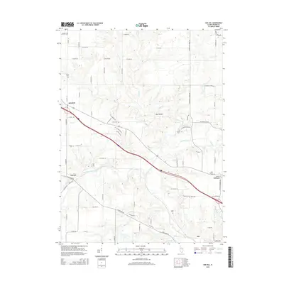
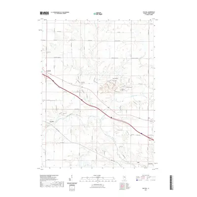
1971 Oak Hill
Peoria County, IL
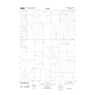
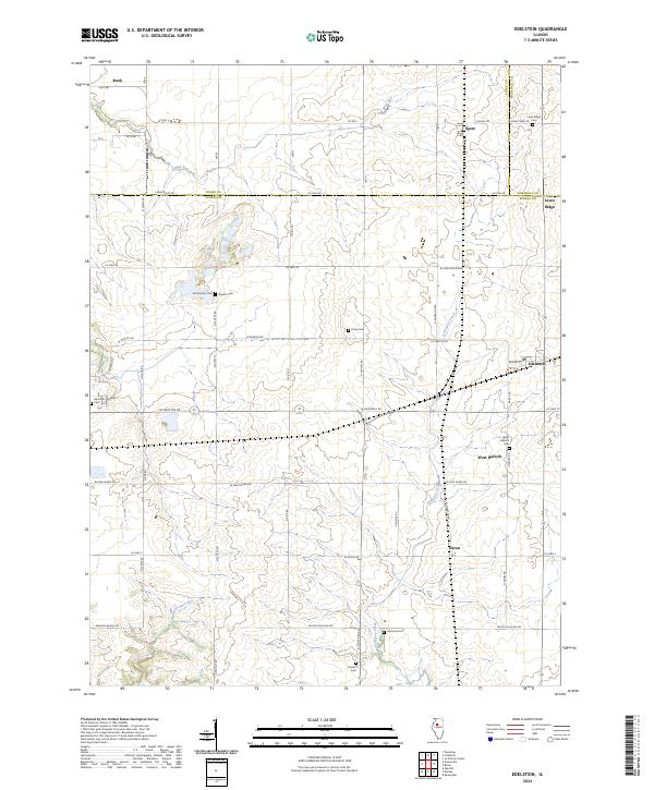
1982 Edelstein
Peoria County, IL
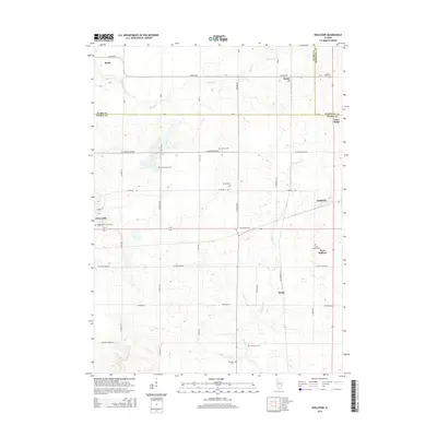
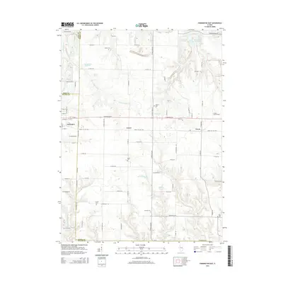
1982 Farmington East
Peoria County, IL
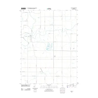
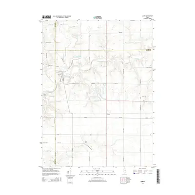
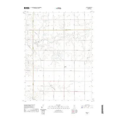
1982 Laura
Peoria County, IL
1996 Peoria West
Peoria County, IL
1997 Oak Hill
Peoria County, IL
1998 Edelstein
Peoria County, IL
2012 Edelstein
Peoria County, IL
2012 Farmington East
Peoria County, IL
2012 Laura
Peoria County, IL
2012 Oak Hill
Peoria County, IL
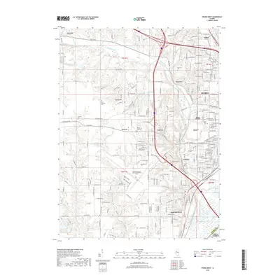
2012 Peoria West
Peoria County, IL
2015 Edelstein
Peoria County, IL
2015 Farmington East
Peoria County, IL
2015 Laura
Peoria County, IL
2015 Oak Hill
Peoria County, IL
2015 Peoria West
Peoria County, IL
2018 Edelstein
Peoria County, IL
2018 Farmington East
Peoria County, IL
2018 Laura
Peoria County, IL
2018 Oak Hill
Peoria County, IL
2018 Peoria West
Peoria County, IL
2021 Edelstein
Peoria County, IL
2021 Farmington East
Peoria County, IL
2021 Laura
Peoria County, IL
2021 Oak Hill
Peoria County, IL
2021 Peoria West
Peoria County, IL
2024 Edelstein
Peoria County, IL
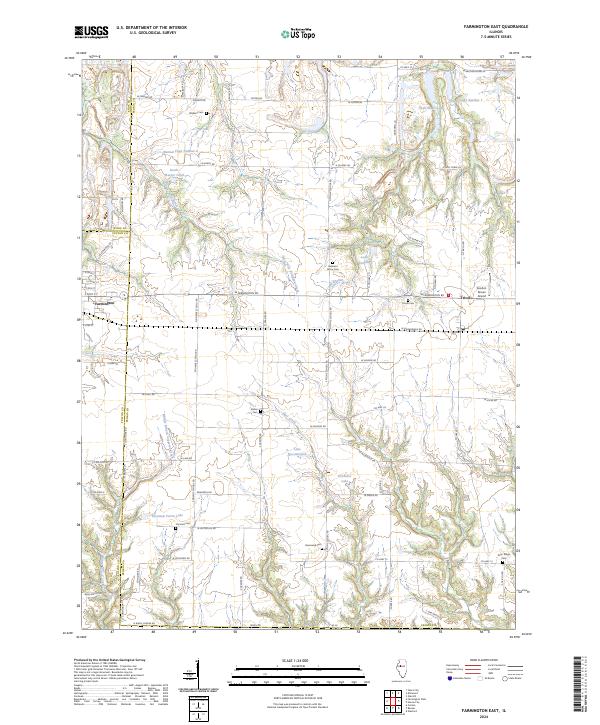
2024 Farmington East
Peoria County, IL
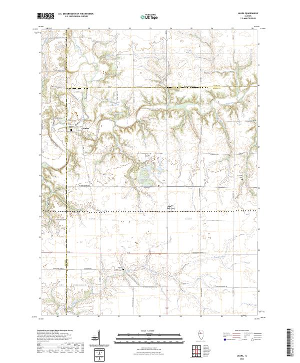
2024 Laura
Peoria County, IL

2024 Oak Hill
Peoria County, IL
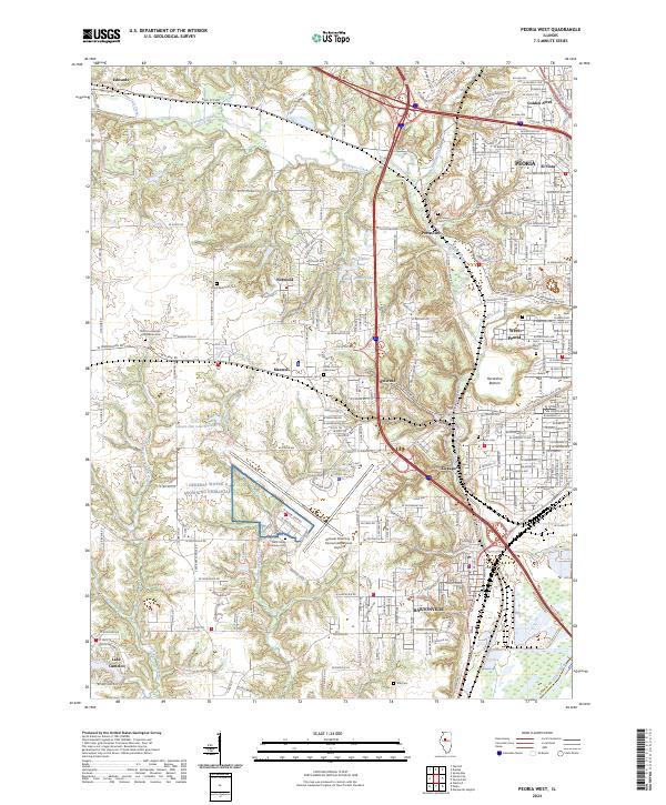
2024 Peoria West
Peoria County, IL