
1949 Map of Peoria West
USGS Topo · Published 1967About this map
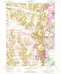
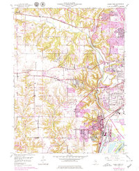
Kickapoo Creek winds through a landscape of sharp ravines and industrial expansion west of Peoria in the late 1940s. The area's complex rail network is highly visible, featuring the Chicago and North Western and Peoria and Pekin Union lines serving the riverfront and upland industrial zones. In Limestone, the Peoria Municipal Airport and the expansive State Hospital Farm represent significant mid-century land use, while older rural patterns persist through numerous schoolhouses like Howarth Sch and Lonsdale Sch. The transition from the urban grid of West Peoria to the residential pockets of Norwood Park and Bellevue is clearly defined, with the Illinois River and its Peoria Lock and Dam anchoring the southeastern corner. This survey documents the era when decentralized suburban clusters began to bridge the gap between established mining operations and the city center.
Find a feature on this map
52 named features on this map. Tap any name to fly to it.
Don’t see what you’re looking for? This feature index may not catch every label — zoom into the map to look around manually.
Map Details
Editions of this 1949 Peoria West Map
3 editions found
Other maps of this area

1893 · Dunlap
USGS Topo · 1:62,500

1898 · Dunlap
USGS Topo · 1:62,500

1905 · Peoria
USGS Topo · 1:62,500

1927 · Peoria
USGS Topo · 1:62,500

1930 · Glasford
USGS Topo · 1:62,500

1932 · Dunlap
USGS Topo · 1:62,500

1933 · Dunlap
USGS Topo · 1:62,500

1937 · Dunlap
USGS Topo · 1:62,500

1944 · Elmwood
USGS Topo · 1:62,500

1948 · Elmwood
USGS Topo · 1:62,500