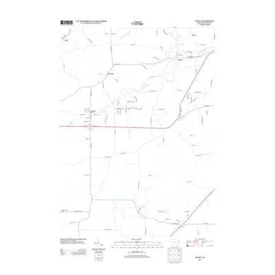
2013 Map of Peosta
USGS Topo · Published 2013About this map
Peosta and the surrounding Dubuque County countryside appear here in the early 21st century, showing a landscape defined by its stream network and regional hubs. The area is anchored by the Dubuque County Fairgrounds near Julien, while the small settlements of Centralia and Graf are connected by a web of local routes like Old Highway Rd and Five Points Rd. The terrain is deeply etched by the Middle Fork Catfish Cr, S Fork Catfish Cr, and Whitewater Cr, which dictated the early placement of roads and homesteads. Modern recreation and commerce are visible at the Timberline Golf Course and Ice Harbor Emporium, illustrating the continued development of this Iowa corridor. This map captures a transition where traditional rural road patterns meet expanding residential streets, such as those in Clear View Hts.
Find a feature on this map
92 named features on this map. Tap any name to fly to it.
Don’t see what you’re looking for? This feature index may not catch every label — zoom into the map to look around manually.
Map Details
Editions of this 2013 Peosta Map
This is the sole edition of this map. No revisions or reprints were ever made.
Other maps of this area

1900 · Lancaster
USGS Topo · 1:125,000

1901 · Peosta
USGS Topo · 1:125,000

1904 · Lancaster
USGS Topo · 1:125,000

1908 · Lancaster
USGS Topo · 1:125,000

1935 · East Dubuque
USGS Topo · 1:62,500

1940 · East Dubuque
USGS Topo · 1:62,500

1955 · Dubuque South
USGS Topo · 1:24,000

1956 · Dubuque North
USGS Topo · 1:24,000

1956 · Sherrill
USGS Topo · 1:24,000

1957 · Holy Cross
USGS Topo · 1:24,000