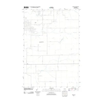
2010 Map of Peplin
USGS Topo · Published 2010About this map
The settlement of Peplin lies at the intersection of rural thoroughfares in Marathon County, situated within the municipal bounds of Kronenwetter. This landscape is defined by its transition from organized grid planning to the meandering paths of its water systems. The northern reaches are characterized by the drainage of Cedar Creek and Bull Junior Creek, while the southern portion of the quadrangle is traversed by Peplin Creek and Johnson Creek.
Find a feature on this map
41 named features on this map. Tap any name to fly to it.
Don’t see what you’re looking for? This feature index may not catch every label — zoom into the map to look around manually.
Map Details
Editions of this 2010 Peplin Map
This is the sole edition of this map. No revisions or reprints were ever made.
Other maps of this area

1899 · Wausau
USGS Topo · 1:125,000

1902 · Wausau
USGS Topo · 1:125,000

1953 · Wausau
USGS Topo · 1:48,000

1953 · Hatley
USGS Topo · 1:48,000

1955 · Rosholt
USGS Topo · 1:48,000

1955 · Green Bay
USGS Topo · 1:250,000

1956 · Stevens Point
USGS Topo · 1:48,000

1963 · Wausau West
USGS Topo · 1:24,000
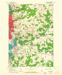
1963 · Wausau East
USGS Topo · 1:24,000

1963 · Wausau
USGS Topo · 1:62,500