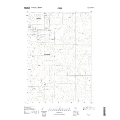
2018 Map of Peplin
USGS Topo · Published 2018About this map
Kronenwetter and the southern reaches of Rothschild anchor the western edge of this landscape, where residential development and agricultural tracts meet the wetlands of Marathon County. The area is defined by a dense network of minor waterways, including Bull Junior Creek, Sampson Creek, and Johnson Creek, which weave between rural roads and expanding suburban neighborhoods. In the southern portion of the quadrangle, the small settlement of Peplin lies near the headwaters of Peplin Creek, reflecting the region's traditional rural character before it transitions into more developed zones. Notable landmarks like Jaks Field and the complex of roads near Weston show the modern configuration of this Wisconsin landscape, capturing the balance between suburban growth and the preservation of open creek-fed basins.
Find a feature on this map
83 named features on this map. Tap any name to fly to it.
Don’t see what you’re looking for? This feature index may not catch every label — zoom into the map to look around manually.
Map Details
Editions of this 2018 Peplin Map
This is the sole edition of this map. No revisions or reprints were ever made.
Other maps of this area

1899 · Wausau
USGS Topo · 1:125,000

1902 · Wausau
USGS Topo · 1:125,000

1953 · Wausau
USGS Topo · 1:48,000

1953 · Hatley
USGS Topo · 1:48,000

1955 · Rosholt
USGS Topo · 1:48,000

1955 · Green Bay
USGS Topo · 1:250,000

1956 · Stevens Point
USGS Topo · 1:48,000

1963 · Wausau West
USGS Topo · 1:24,000
1963 · Wausau East
USGS Topo · 1:24,000

1963 · Wausau
USGS Topo · 1:62,500