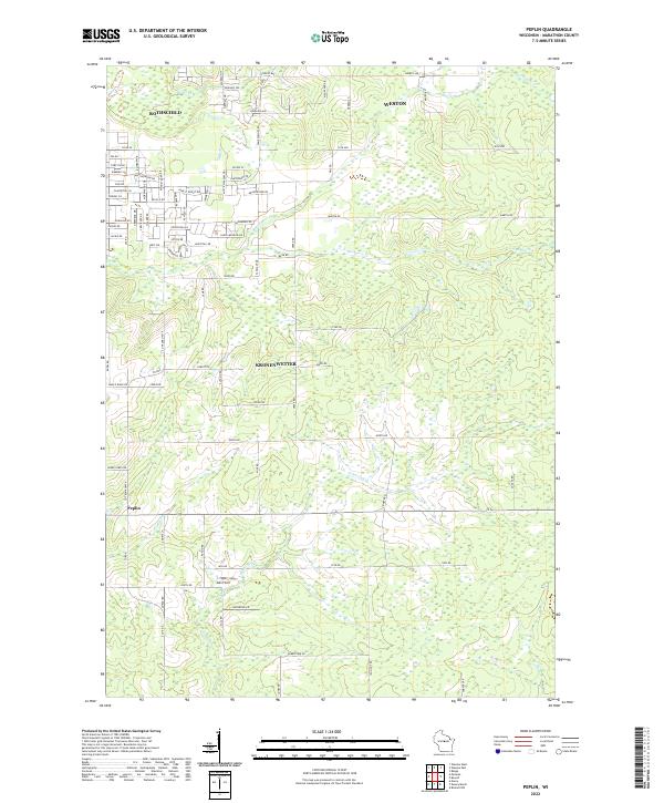
2022 Map of Peplin
USGS Topo · Published 2022About this map
Rothschild and Weston occupy the northwestern corner of this central Wisconsin landscape, where residential development meets the expansive rural terrain of Marathon County. The map documents a transition from the established neighborhoods near Cedar Creek to the more dispersed homesteads and agricultural tracts of Kronenwetter. The southern portion of the sheet is defined by a dense network of small streams, including Peplin Creek and Johnson Creek, which weave through the townships of t27n r8e and t26n r8e.
Find a feature on this map
90 named features on this map. Tap any name to fly to it.
Don’t see what you’re looking for? This feature index may not catch every label — zoom into the map to look around manually.
Map Details
Editions of this 2022 Peplin Map
This is the sole edition of this map. No revisions or reprints were ever made.
Other maps of this area

1899 · Wausau
USGS Topo · 1:125,000

1902 · Wausau
USGS Topo · 1:125,000

1953 · Wausau
USGS Topo · 1:48,000

1953 · Hatley
USGS Topo · 1:48,000

1955 · Rosholt
USGS Topo · 1:48,000

1955 · Green Bay
USGS Topo · 1:250,000

1956 · Stevens Point
USGS Topo · 1:48,000

1963 · Wausau West
USGS Topo · 1:24,000
1963 · Wausau East
USGS Topo · 1:24,000

1963 · Wausau
USGS Topo · 1:62,500