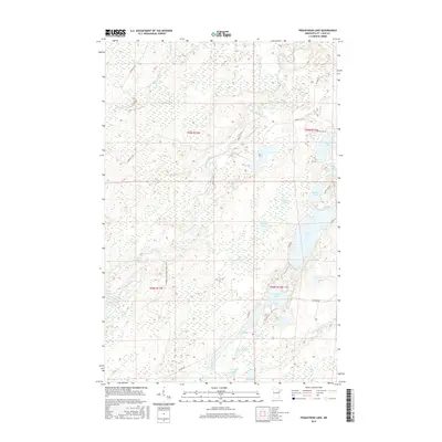
2016 Map of Pequaywan Lake
USGS Topo · Published 2016About this map
Cloquet River and the Little Cloquet River wind through this heavily glaciated pocket of Saint Louis County, defining a landscape dominated by interconnected wetlands and small water bodies. The area is anchored by Pequaywan Lake and its smaller neighbors, including the curiously named Santa Claus Lake and Wigwam Lake to the south. This remote terrain is navigated by a network of specialized trails and local corridors, such as the E Cloquet River Forest Mgmt Trl and Marshall Trl, which provide access to the timber and recreation lands within the forest management zones.
Find a feature on this map
36 named features on this map. Tap any name to fly to it.
Don’t see what you’re looking for? This feature index may not catch every label — zoom into the map to look around manually.
Map Details
Editions of this 2016 Pequaywan Lake Map
This is the sole edition of this map. No revisions or reprints were ever made.
Other maps of this area

1954 · Barrs Lake
USGS Topo · 1:24,000

1954 · Thompson Lake
USGS Topo · 1:24,000

1954 · Mc Carthy Creek
USGS Topo · 1:24,000

1954 · Two Harbors
USGS Topo · 1:250,000

1954 · Hibbing
USGS Topo · 1:250,000

1956 · Pequaywan Lake
USGS Topo · 1:24,000

1956 · King Lake
USGS Topo · 1:24,000

1957 · Two Harbors
USGS Topo · 1:250,000

1957 · Hibbing
USGS Topo · 1:250,000

1957 · Brimson
USGS Topo · 1:62,500