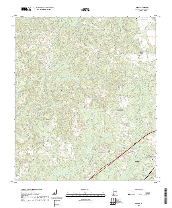
2024 Map of Perdido
USGS Topo · Published 2024About this map
Perdido and Rabun serve as the primary hubs in this corner of Baldwin County, where the landscape is defined by a dense network of watercourses and family-named homesteads. The terrain is crisscrossed by numerous branches and creeks, including Steel Creek, Dyas Creek, and Bushy Creek, reflecting the traditional drainage patterns of the Alabama coastal plain. This 2024 data highlights a significant concentration of burial grounds and rural parishes, which are essential for genealogical research in the region.
Find a feature on this map
61 named features on this map. Tap any name to fly to it.
Don’t see what you’re looking for? This feature index may not catch every label — zoom into the map to look around manually.
Map Details
Editions of this 2024 Perdido Map
This is the sole edition of this map. No revisions or reprints were ever made.
Other maps of this area

1941 · Bay Minette
USGS Topo · 1:62,500

1942 · Perdido
USGS Topo · 1:62,500

1942 · Dyas
USGS Topo · 1:62,500

1943 · Bay Minette
USGS Topo · 1:62,500

1943 · Tensaw
USGS Topo · 1:62,500

1944 · Tensaw
USGS Topo · 1:62,500

1944 · Dyas
USGS Topo · 1:62,500

1944 · Perdido
USGS Topo · 1:62,500

1953 · Andalusia
USGS Topo · 1:250,000

1957 · Andalusia
USGS Topo · 1:250,000