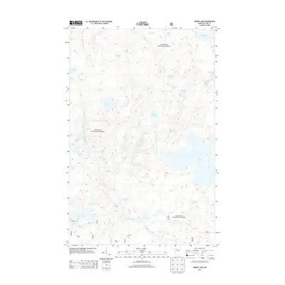
2013 Map of Perent Lake
USGS Topo · Published 2013About this map
Superior National Forest encompasses the entirety of this interior drainage landscape, defined by a complex network of glacial lakes and slow-moving waterways. The Perent River serves as a central artery, flowing out of the expansive Perent Lake and meandering westward toward its junction with the Island River. This aquatic connectivity is a hallmark of the region, where numerous smaller bodies of water like Ferne Lake, Tomahawk Lake, and Kawishiwi Lake are interspersed among unnamed wetlands and depressions.
Find a feature on this map
34 named features on this map. Tap any name to fly to it.
Don’t see what you’re looking for? This feature index may not catch every label — zoom into the map to look around manually.
Map Details
Editions of this 2013 Perent Lake Map
This is the sole edition of this map. No revisions or reprints were ever made.
Other maps of this area

1954 · Two Harbors
USGS Topo · 1:250,000

1955 · Isabella
USGS Topo · 1:62,500

1955 · Cramer
USGS Topo · 1:62,500

1957 · Two Harbors
USGS Topo · 1:250,000

1958 · Two Harbors
USGS Topo · 1:250,000

1960 · Lake Polly
USGS Topo · 1:24,000

1960 · Kawishiwi Lake
USGS Topo · 1:24,000

1960 · Perent Lake
USGS Topo · 1:24,000

1960 · Alice Lake
USGS Topo · 1:24,000

1964 · Two Harbors
USGS Topo · 1:250,000