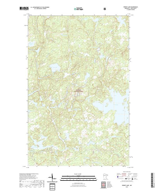
2022 Map of Perent Lake
USGS Topo · Published 2022About this map
Superior National Forest encompasses this aquatic-rich landscape in Lake County, where a dense network of glacial lakes and slow-moving rivers defines the region's character. The namesake Perent Lake dominates the eastern boundary, acting as a major drainage hub for local tributaries. The hydrographic pattern is intricate, with the Perent River and Island River weaving through a mosaic of smaller basins including Orchid Lake, Peerless Lake, and Andek Lake.
Find a feature on this map
33 named features on this map. Tap any name to fly to it.
Don’t see what you’re looking for? This feature index may not catch every label — zoom into the map to look around manually.
Map Details
Editions of this 2022 Perent Lake Map
This is the sole edition of this map. No revisions or reprints were ever made.
Other maps of this area

1954 · Two Harbors
USGS Topo · 1:250,000

1955 · Isabella
USGS Topo · 1:62,500

1955 · Cramer
USGS Topo · 1:62,500

1957 · Two Harbors
USGS Topo · 1:250,000

1958 · Two Harbors
USGS Topo · 1:250,000

1960 · Lake Polly
USGS Topo · 1:24,000

1960 · Kawishiwi Lake
USGS Topo · 1:24,000

1960 · Perent Lake
USGS Topo · 1:24,000

1960 · Alice Lake
USGS Topo · 1:24,000

1964 · Two Harbors
USGS Topo · 1:250,000