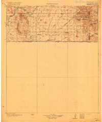
1919 Map of Perilla
USGS Topo · Published 1919About this map
The San Bernardino Grant Boundary Line defines the southern reach of this 1917 survey, where the high desert terrain of Cochise County meets the international border. This map records a landscape of isolated cattle operations and early transportation corridors during the height of the ranching era. The Borderland Highway and rail points like Cazador Siding and Lee Siding provided vital links for the scattered homesteads. Families of the era are memorialized through namesake features such as the Hazelwood Ranch, Raner Goss Ranch, and Ed Howard Ranch. Community life centers on the Cottonwood Creek School and a lonely Cemetery near Cottonwood Wash. The survey also marks essential water sources in this arid environment, including Guadalupe Spring and the evocatively named Spring of Contention.
Find a feature on this map
53 named features on this map. Tap any name to fly to it.
Don’t see what you’re looking for? This feature index may not catch every label — zoom into the map to look around manually.
Map Details
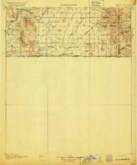
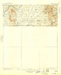
Editions of this 1919 Perilla Map
4 editions found
Other maps of this area

1914 · Douglas
USGS Topo · 1:62,500

1916 · Pearce
USGS Topo · 1:125,000

1916 · Douglas
USGS Topo · 1:125,000

1917 · Chiricahua
USGS Topo · 1:125,000

1918 · Cienega Springs
USGS Topo · 1:62,500

1918 · Animas Peak
USGS Topo · 1:62,500

1919 · Douglas
USGS Topo · 1:125,000

1919 · Perilla
USGS Topo · 1:125,000

1919 · Chiricahua
USGS Topo · 1:125,000

1920 · Animas Peak
USGS Topo · 1:62,500