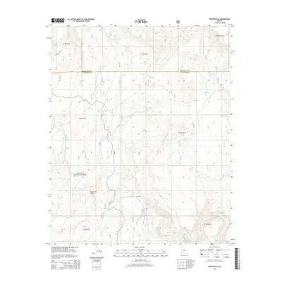
2014 Map of Perkinsville
USGS Topo · Published 2014About this map
Perkinsville sits at the heart of this high-desert landscape in northern Arizona, marking a critical point where the Verde River snakes through the southern reaches of the Prescott National Forest. The settlement's proximity to the river and its position along Perkinsville Rd illustrate its historical importance as a transit and watering node. The terrain is defined by deep cuts like Government Canyon and Railroad Draw, which reveal the complex drainage patterns of the Mogollon Rim transition zone.
Find a feature on this map
38 named features on this map. Tap any name to fly to it.
Don’t see what you’re looking for? This feature index may not catch every label — zoom into the map to look around manually.
Map Details
Editions of this 2014 Perkinsville Map
This is the sole edition of this map. No revisions or reprints were ever made.
Other maps of this area

1886 · Chino
USGS Topo · 1:250,000

1887 · Prescott
USGS Topo · 1:250,000

1891 · Chino
USGS Topo · 1:250,000

1892 · Prescott
USGS Topo · 1:250,000

1905 · Jerome
USGS Topo · 1:125,000

1922 · Williams
USGS Topo · 1:125,000

1944 · Clarkdale
USGS Topo · 1:48,000

1947 · Ash Fork
USGS Topo · 1:62,500

1947 · Paulden
USGS Topo · 1:62,500

1948 · Ash Fork
USGS Topo · 1:63,360