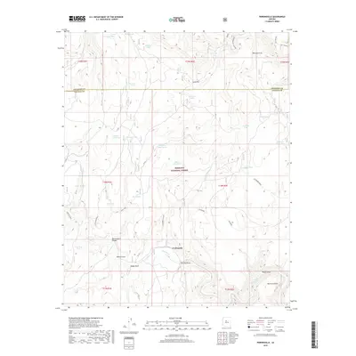
2018 Map of Perkinsville
USGS Topo · Published 2018About this map
Perkinsville sits along the winding course of the Verde River in this high-desert survey of the central Arizona uplands. The landscape is defined by the complex drainage systems of Sycamore Canyon and Sycamore Basin, where the river has carved deep into the surrounding plateaus. This area, largely contained within the Prescott National Forest, illustrates a classic western ranching and transit environment. Numerous named watering points, such as Black Hills Tank and Witty Tom Tank, are scattered across the township lines, indicating the vital importance of water management in the arid terrain. The Atchison River railroad corridor parallels the river’s path, providing a critical transportation link through the canyons. Notable landforms like Mormon Pocket and Sand Flat highlight the varied topography, while several Forest Roads, including FR 318, provide access to the remote draws and canyons that reach toward the Coconino and Yavapai County line.
Find a feature on this map
49 named features on this map. Tap any name to fly to it.
Don’t see what you’re looking for? This feature index may not catch every label — zoom into the map to look around manually.
Map Details
Editions of this 2018 Perkinsville Map
This is the sole edition of this map. No revisions or reprints were ever made.
Other maps of this area

1886 · Chino
USGS Topo · 1:250,000

1887 · Prescott
USGS Topo · 1:250,000

1891 · Chino
USGS Topo · 1:250,000

1892 · Prescott
USGS Topo · 1:250,000

1905 · Jerome
USGS Topo · 1:125,000

1922 · Williams
USGS Topo · 1:125,000

1944 · Clarkdale
USGS Topo · 1:48,000

1947 · Ash Fork
USGS Topo · 1:62,500

1947 · Paulden
USGS Topo · 1:62,500

1948 · Ash Fork
USGS Topo · 1:63,360