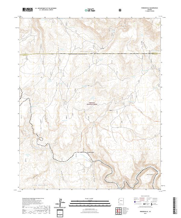
2021 Map of Perkinsville
USGS Topo · Published 2021About this map
The Verde River carves through the central portion of this 2021 study, providing a vital water source in a landscape defined by canyons and arid draws. At the heart of the river's path lies Perkinsville, a small settlement positioned near the southern reaches of the Coconino Co Yavapai Co line. The terrain transitions from the elevations of Little Black Mesa in the southwest to the complex drainage systems of Government Canyon and Bear Canyon.
Find a feature on this map
60 named features on this map. Tap any name to fly to it.
Don’t see what you’re looking for? This feature index may not catch every label — zoom into the map to look around manually.
Map Details
Editions of this 2021 Perkinsville Map
This is the sole edition of this map. No revisions or reprints were ever made.
Other maps of this area

1886 · Chino
USGS Topo · 1:250,000

1887 · Prescott
USGS Topo · 1:250,000

1891 · Chino
USGS Topo · 1:250,000

1892 · Prescott
USGS Topo · 1:250,000

1905 · Jerome
USGS Topo · 1:125,000

1922 · Williams
USGS Topo · 1:125,000

1944 · Clarkdale
USGS Topo · 1:48,000

1947 · Ash Fork
USGS Topo · 1:62,500

1947 · Paulden
USGS Topo · 1:62,500

1948 · Ash Fork
USGS Topo · 1:63,360