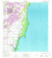
1956 Map of Perrine
USGS Topo · Published 1974About this map
The Florida East Coast railway corridor serves as the backbone for development in this coastal stretch of Dade County, linking the settlements of Perrine, Peters, and Cutler Ridge. The landscape transitions from the urbanizing residential grids of Franjo and South Allapattah in the west to the dense mangrove shorelines along Biscayne Bay. Significant infrastructure is visible, including a sewage disposal site and several gaging stations managing the flow of Black Creek and the Goulds Canal. The 1970s revisions, highlighted in purple, reveal the rapid suburban expansion pressing toward the southern edge of the map at Homestead Air Force Base. Along the coast, landmarks like Chicken Key and Black Point mark the boundary where the reclaimed land meets the natural shoals and ledges of the bay.
Find a feature on this map
30 named features on this map. Tap any name to fly to it.
Don’t see what you’re looking for? This feature index may not catch every label — zoom into the map to look around manually.
Map Details
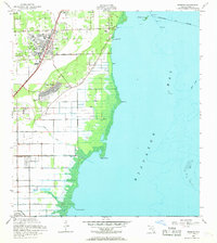
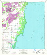
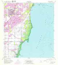
Editions of this 1956 Perrine Map
5 editions found

Other maps of this area

1947 · Key Biscayne
USGS Topo · 1:24,000

1948 · Soldier Key
USGS Topo · 1:24,000

1949 · South Miami NW
USGS Topo · 1:24,000

1949 · Elliott Key
USGS Topo · 1:24,000

1949 · Key Biscayne
USGS Topo · 1:24,000

1949 · Arsenicker Keys
USGS Topo · 1:24,000

1949 · Goulds
USGS Topo · 1:24,000

1949 · Perrine
USGS Topo · 1:24,000

1950 · Homestead
USGS Topo · 1:24,000

1950 · South Miami
USGS Topo · 1:24,000