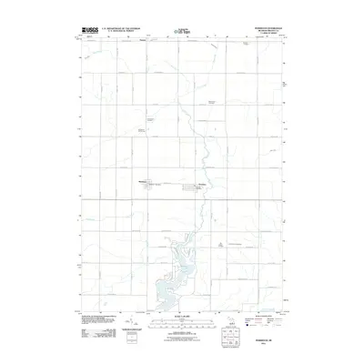
2011 Map of Perrinton
USGS Topo · Published 2011About this map
Perrinton and Middleton sit at the center of this Gratiot County landscape, following a grid-aligned settlement pattern defined by the drainage of Pine Creek and Otter Creek. The area is notably dense with burial grounds, ranging from the Beechler Cemetery in the north to the Old Fulton Cemetery and Fulton Center Cemetery further south, providing essential data points for local genealogists. The water systems are complex, featuring the strikingly named River Styx and Newark Drain near the village of Newark, and the southern expanse of Rainbow Lake with its surrounding residential streets like Lakeside Dr. Evidence of the local infrastructure is visible at the Middleton Post Office and Perrinton Post Office, while the surrounding rural acreage is crisscrossed by family-named roads such as S Pendell Rd and S Ely Hwy.
Find a feature on this map
60 named features on this map. Tap any name to fly to it.
Don’t see what you’re looking for? This feature index may not catch every label — zoom into the map to look around manually.
Map Details
Editions of this 2011 Perrinton Map
This is the sole edition of this map. No revisions or reprints were ever made.
Other maps of this area

1918 · Perrinton
USGS Topo · 1:62,500

1935 · Alma
USGS Topo · 1:62,500

1938 · Alma
USGS Topo · 1:62,500

1943 · Perrinton
USGS Topo · 1:62,500

1954 · Midland
USGS Topo · 1:250,000

1958 · Midland
USGS Topo · 1:250,000

1959 · Midland
USGS Topo · 1:250,000

1965 · Sumner
USGS Topo · 1:24,000
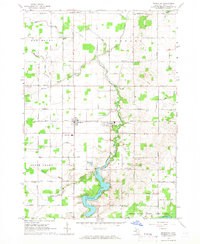
1965 · Perrinton
USGS Topo · 1:24,000
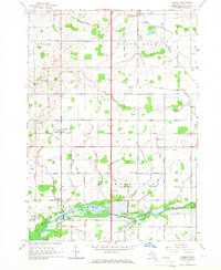
1965 · Pompeii
USGS Topo · 1:24,000