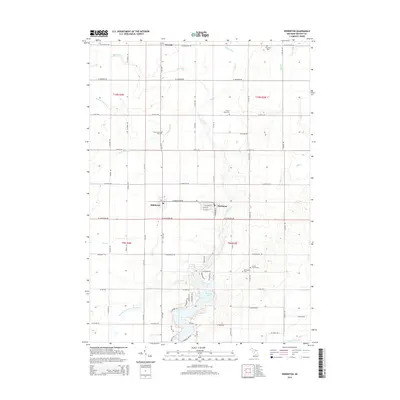
2014 Map of Perrinton
USGS Topo · Published 2014About this map
The village of Perrinton and the nearby settlement of Middleton anchor this Gratiot County landscape, situated amidst a dense network of agricultural drains and small waterways. The geography is defined by its water systems, from the southern flow of the Maple River to the distinctive River Styx and Bad River in the north. This drainage network, including the Newark Drain and Casteel Drain, highlights the engineering required to manage the low-lying terrain for farming. Central to the local community is Rainbow Lake, a significant water feature surrounded by residential streets like Woodlawn Ct and Highland Dr. For those researching local families, the map is a primary source for locating rural burial sites such as Old Fulton Cem, Fulton Center Cem, and Greenwood Cem. The rectilinear road grid, dominated by routes like S Ely Hwy and W Cleveland Ave, reflects the organized township structure of central Michigan.
Find a feature on this map
64 named features on this map. Tap any name to fly to it.
Don’t see what you’re looking for? This feature index may not catch every label — zoom into the map to look around manually.
Map Details
Editions of this 2014 Perrinton Map
This is the sole edition of this map. No revisions or reprints were ever made.
Other maps of this area

1918 · Perrinton
USGS Topo · 1:62,500

1935 · Alma
USGS Topo · 1:62,500

1938 · Alma
USGS Topo · 1:62,500

1943 · Perrinton
USGS Topo · 1:62,500

1954 · Midland
USGS Topo · 1:250,000

1958 · Midland
USGS Topo · 1:250,000

1959 · Midland
USGS Topo · 1:250,000

1965 · Sumner
USGS Topo · 1:24,000
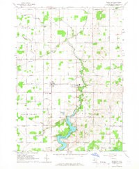
1965 · Perrinton
USGS Topo · 1:24,000
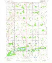
1965 · Pompeii
USGS Topo · 1:24,000