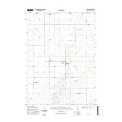
2017 Map of Perrinton
USGS Topo · Published 2017About this map
Perrinton and Middleton anchor this central Michigan landscape, where agricultural grids are defined by an intricate network of drains and creeks. The terrain is shaped by the southern flow of Pine Creek toward Rainbow Lake, while the northern reaches are drained by the appropriately named River Styx and the Bad River. This area in Gratiot County preserves several small family and community burial grounds, including Beechler Cem, Hayes Road Cem, and Greenwood Cem, which serve as vital touchstones for local genealogical research.
Find a feature on this map
45 named features on this map. Tap any name to fly to it.
Don’t see what you’re looking for? This feature index may not catch every label — zoom into the map to look around manually.
Map Details
Editions of this 2017 Perrinton Map
This is the sole edition of this map. No revisions or reprints were ever made.
Other maps of this area

1918 · Perrinton
USGS Topo · 1:62,500

1935 · Alma
USGS Topo · 1:62,500

1938 · Alma
USGS Topo · 1:62,500

1943 · Perrinton
USGS Topo · 1:62,500

1954 · Midland
USGS Topo · 1:250,000

1958 · Midland
USGS Topo · 1:250,000

1959 · Midland
USGS Topo · 1:250,000

1965 · Sumner
USGS Topo · 1:24,000
1965 · Perrinton
USGS Topo · 1:24,000
1965 · Pompeii
USGS Topo · 1:24,000