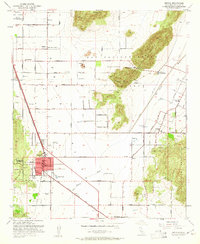
1953 Map of Perris
USGS Topo · Published 1961About this map
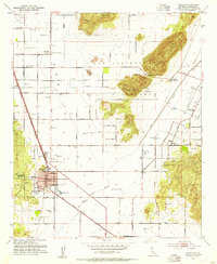
Perris serves as a focal point of this Inland Empire landscape, defined by a grid of agricultural roads and the distinct rise of the Bernasconi Hills. In the early 1950s, the region supported a mix of military presence, seen at the southern edge of March Air Force Base, and specialized local institutions such as the Palomar Sch for Boys. The map illustrates a transitional era where traditional landmarks like the Anza Trail Monument and Lakeview Hot Springs coexist with modern navigation infrastructure, including the Gregory Radio Range Sta and Omni Radio Range Sta. Water management is prominent throughout, with numerous reservoirs and the Colorado River Aqueduct cutting through the terrain. Smaller settlements like Nuevo are clearly mapped, alongside essential community features such as Nuview Union School, the local Cemetery, and the State Forestry Headquarters.
Find a feature on this map
28 named features on this map. Tap any name to fly to it.
Don’t see what you’re looking for? This feature index may not catch every label — zoom into the map to look around manually.
Map Details
Editions of this 1953 Perris Map
2 editions found
Other maps of this area

1901 · Southern California Sheet No. 1
USGS Topo · 1:250,000

1901 · Elsinore
USGS Topo · 1:125,000

1901 · Riverside
USGS Topo · 1:62,500

1904 · Southern California Sheet No. 1
USGS Topo · 1:250,000

1942 · Lake Elsinore
USGS Topo · 1:62,500

1942 · Murrieta
USGS Topo · 1:62,500

1942 · Riverside
USGS Topo · 1:62,500

1942 · Perris
USGS Topo · 1:62,500

1943 · Perris
USGS Topo · 1:62,500

1943 · Riverside
USGS Topo · 1:62,500