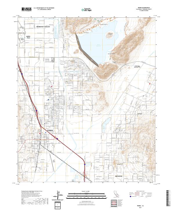
Loading...
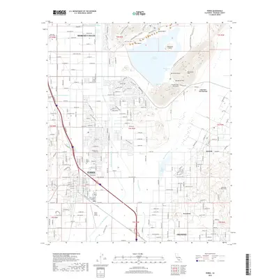
Loading map...1967 Map of Perris
USGS Topo · Published 1975About this map
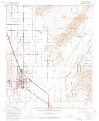
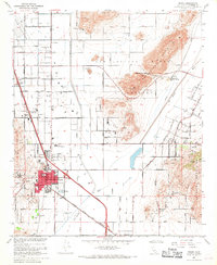
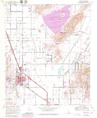
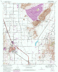
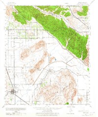
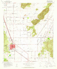
The Perris township and the newly developing Perris Reservoir define this landscape during a period of significant water infrastructure expansion. The map documents the purple-shaded growth of the residential core around the Atchison Topeka and Santa Fe railroad line and the Escondido Freeway. This era shows the community's transition from a rail-and-agriculture hub—marked by Mayer Farms and the Perris Valley Airport—toward a regional recreation and transit center.
Find a feature on this map
58 named features on this map. Tap any name to fly to it.
Don’t see what you’re looking for? This feature index may not catch every label — zoom into the map to look around manually.
Map Details
Date Portrayed1967
Date Published1975
PublisherU.S. Geological Survey
Map TypeTopographic
Scale1:24,000
Physical Dimensions22 x 26.8 inches
Editions of this 1967 Perris Map
4 editions found
Historical Maps of Moreno Valley Through Time
8 maps found

Featured Locations
Source Details
SourceU.S. Geological Survey
CopyrightPublic Domain