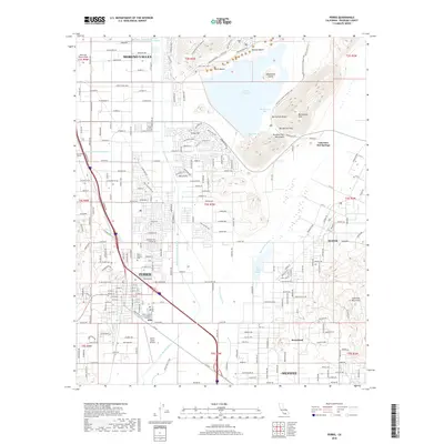
1967 Map of Perris
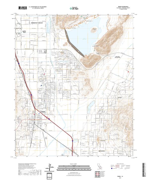
USGS Topo · Published 1980About this map
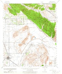
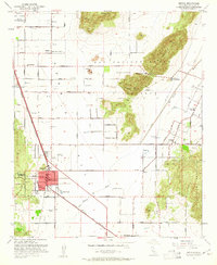
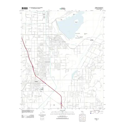
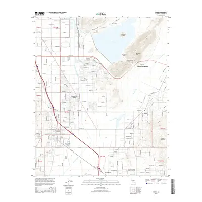
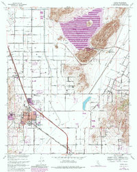
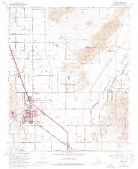
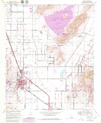
Perris serves as the focal point of this late 1960s survey, illustrating a community at the intersection of traditional agriculture and modernization. The town's grid is established between the Atchison Topeka and Santa Fe railroad and the Escondido Freeway, while local institutions like St James Ch and the Perris Union High Sch anchor the residential core. To the north, the massive Perris Reservoir and the Colorado River Aqueduct signify the region's critical role in water management, with purple revision tints showing the planned expansion of the reservoir's shoreline into the San Jacinto Nuevo Hills.
Find a feature on this map
61 named features on this map. Tap any name to fly to it.
Don’t see what you’re looking for? This feature index may not catch every label — zoom into the map to look around manually.
Map Details
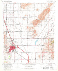
Editions of this 1967 Perris Map
4 editions found
Historical Maps of Moreno Valley Through Time
8 maps found